Garmin Quickdraw Contours Mapping
WARNING
The Garmin Quickdraw Contours mapping feature allows users to generate maps. Garmin makes no
representations about the accuracy, reliability, completeness or timeliness of the maps generated by third
parties. Any use or reliance on the maps generated by third parties is at your own risk.
The Garmin Quickdraw Contours mapping feature allows you to instantly create maps with contours and depth
labels for any body of water.
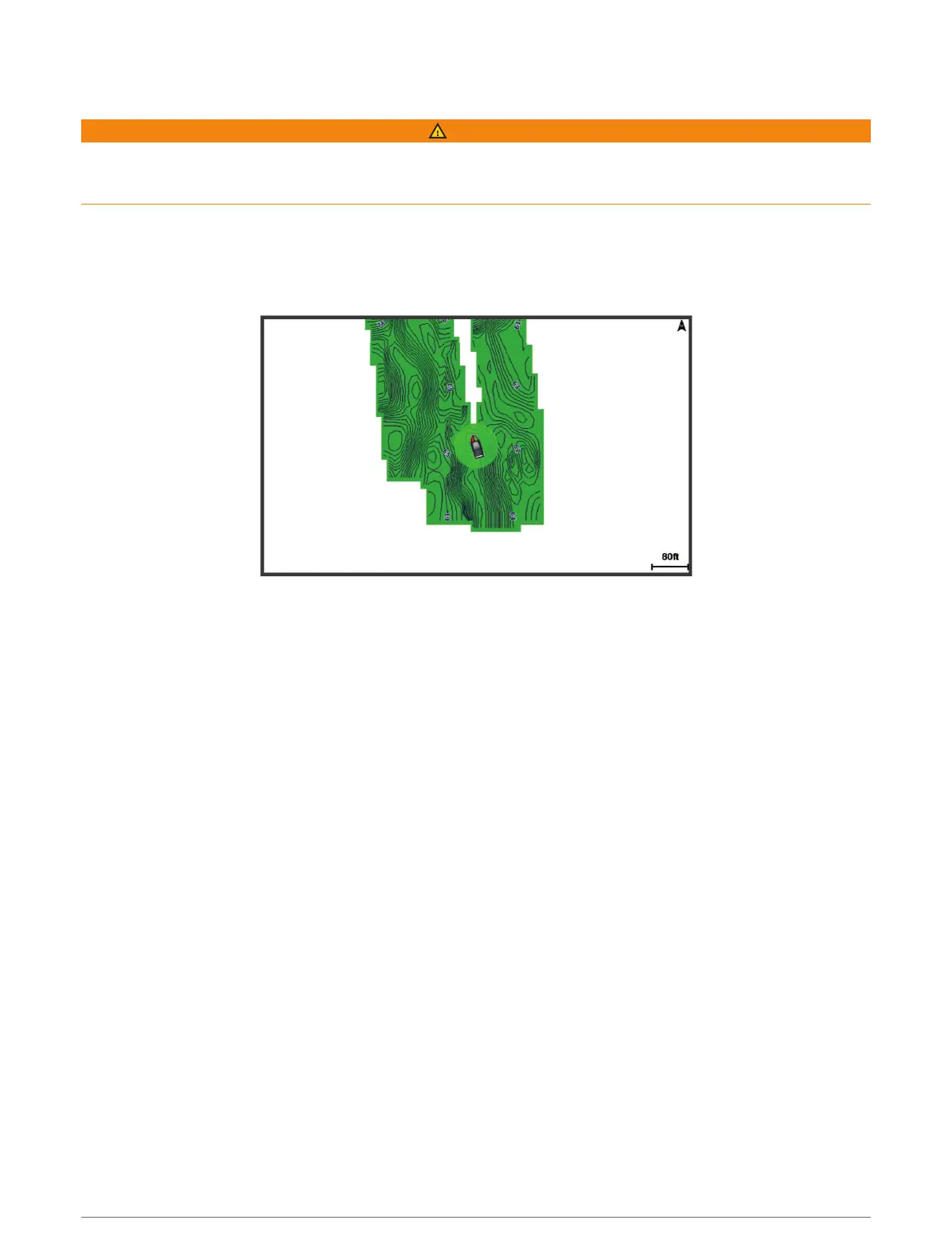
When Garmin Quickdraw Contours records data, a colored circle surrounds the vessel icon. This circle
represents the approximate area of the map that is scanned by each pass.
A green circle indicates good depth and GPS position, and a speed under 16km/h (10mph). A yellow circle
indicates good depth and GPS position, and a speed between 16 and 32km/h (10 and 20mph). A red circle
indicates poor depth or GPS position, and a speed above 32km/h (20mph).
You can view Garmin Quickdraw Contours in a combination screen or as a single view on the map.
The amount of saved data depends on the size of your memory card, your sonar source, and the speed of your
boat as you record data. You can record longer when you use a single-beam sonar. It is estimated that you
might be able to record about 1,500hours of data onto a 2GB memory card.
When you record data on a memory card in your chartplotter, the new data is added to your existing Garmin
Quickdraw Contours map, and is saved on the memory card. When you insert a new memory card, the existing
data does not transfer onto the new card.
Mapping a Body of Water Using the Garmin Quickdraw Contours Feature
Before you can use the Garmin Quickdraw Contours feature, you must have sonar depth, your GPS position, and
a memory card with free space.
1 From a chart view, select Menu > Quickdraw Contours > Start Recording.
2 When recording is complete, select Menu > Quickdraw Contours > Stop Recording.
3 Select Manage > Name, and enter a name for the map.
Adding a Label to a Garmin Quickdraw Contours Map
You can add labels to a Garmin Quickdraw Contours map to mark hazards or points of interest.
1 From the Navigation chart, select a location.
2 Select Add Quickdraw Label.
3 Enter text for the label, and select Done.
Garmin Quickdraw Contours Mapping 27