10
Getting Started
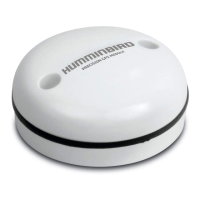
GPS (1) and GPS (2) Sources
You can also manually change which GPS receiver is the selected source for GPS (1) or GPS (2). To change the GPS sources, see
Set up your Humminbird Network.
GPS (1) provides position data, Speed over Ground (SOG), Course over Ground (COG), waypoints, routes, tracks, and navigation
calculations to the control head.
GPS (2) provides position data that is displayed in the GPS (2) data box.
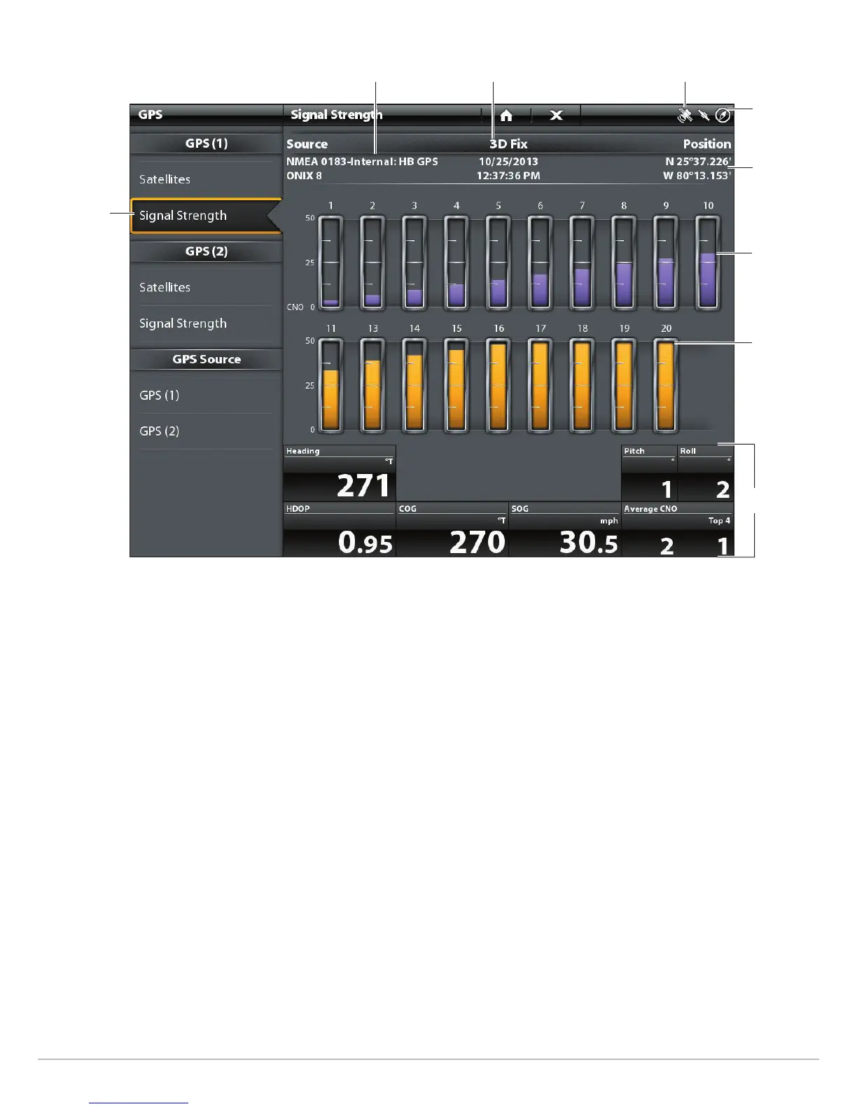
Signal Strength (bar graph)
selected GPS source
monitored
satellite
(purple) and
strength
level
satellites
signal strength
GPS (1)
status bar
boat position
(latitude/
longitude)
GPS status icon
used satellite
(yellow) and
strength
level
fix type
Signal Strength (GPS 1/GPS 2): displays vertical bar graphs indicating the satellite
signal strengths with the respecting CNO (Carrier-to-Noise) value (0 to 60).
digital
readouts
 Loading...