MDC-1840BB/1841BB/1860BB/1810BB/1820BB Series Chapter 5
Operation Manual Basic Operation
0093142122-10 5-17
OFF: The navigation display is turned off.
OWN SHIP (COG/SOG): Own ship’s bearing and speed.
OWN SHIP (TD): Own ship’s position in the LOP (Lane of Position) coordinate.
OWN SHIP (L/L): Own ship’s position is expressed in latitude and longitude.
OWN SHIP (L/L) / WP (Bearing/Distance): Own ship’s position in latitude/longitude
and waypoint position in bearing and distance.
OWN SHIP (L/L) / WP (L/L): Own ship’s position and waypoint position in
latitude/longitude grid.
OWN SHIP’S POSITION DISPLAY
WAYPOINT POSITION DISPLAY
OWN SHIP DGPS
12
O
34. 567 N
34
O
43. 568 E
WP RT01 DGPS
12
O
37. 123 N
34
O
42. 432 E
Own ship’s position is obtained
from a Differential GPS receiver.
The position of Waypoint No. RT01
is obtained from a Differential GPS
receiver.
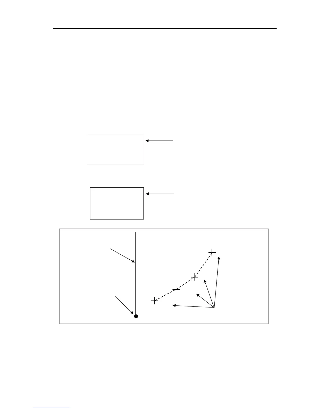
RT01
RT02
RT03
RT04
Heading Mark
Own ship’s position
Waypoint numbers shown
Figure 5.5 The waypoint number display on the screen