10 Magellan GPS ColorTRAK
Selecting Primary Usage
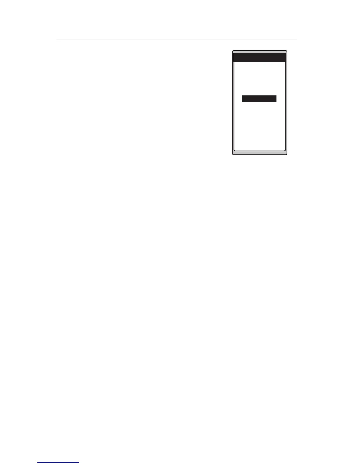
A screen will be displayed asking your primary
use for the receiver, MARINE or LAND. Use
the UP/DOWN ARROWs to select and press
ENTER.
The default is MARINE.
The following chart shows the differences in terminology that your GPS
ColorTRAK uses while in land or marine mode. For purposes of this
manual, it will be assumed that the receiver is in the marine mode.
Land Marine
Speed SPD SOG
Bearing BRG BRG
Distance DST DST
Heading HDG COG
Velocity Made Good VMG VMG
Course To Steer CTS CTS
Estimated Time of Arrival ETA ETA
Time To Go TTG ETE
Cross Track Error XTE XTE
Recorded Position Landmark Waypoint
Units of Measure Miles/MPH or NM/KNOTS
KM/KPH
PREFERENCE
SET DEFAULTS
FOR A
PRIMARY
USAGE OF:
MARINE
LAND
 Loading...