56 Magellan GPS ColorTRAK
Selecting NAV Units
You can choose the units of measure used by your receiver. NAV
UNITS gives you the options of MILES/MPH, NM/KNOTS and KM/
KPH.
Press MENU, from any screen, highlight
SETUP and press ENTER. Highlight NAV
UNITS and press ENTER. A pop-up menu
will be displayed, highlight your choice and
press ENTER.
Default setting is MILES/MPH for land use in the United States and
KM/KPH for land use outside the United States.
Default setting is NM/KNOTS for marine use.
Selecting North Reference
The GPS ColorTRAK uses magnetic north as a default reference for all
navigation computations. You can change this to true north (good, if you are
using a map) or back to magnetic north (default, good to use if you are using
a compass) under SETUP.
Press MENU, from any screen, highlight SETUP and press ENTER.
Highlight NORTH REF and press ENTER.
A pop-up menu will be displayed, highlight
your choice and press ENTER.
Default setting is MAGNETIC.
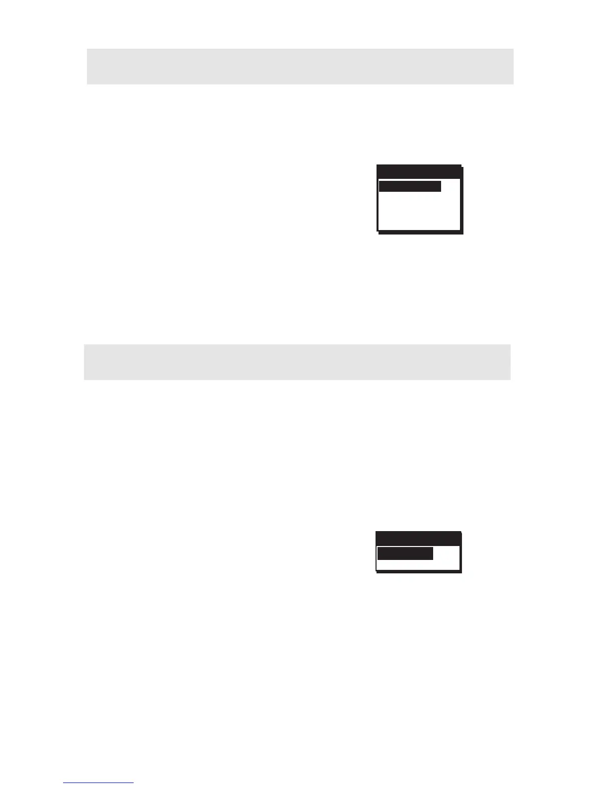
NAV UNITS
MILES/MPH
NM/KNOTS
KM/KPH
NORTH REF
TRUE
MAGNETIC
 Loading...