41
Job Screen
...Creating a Field Boundary Map
Pausing the boundary mapping
During the run the field boundary can be:-
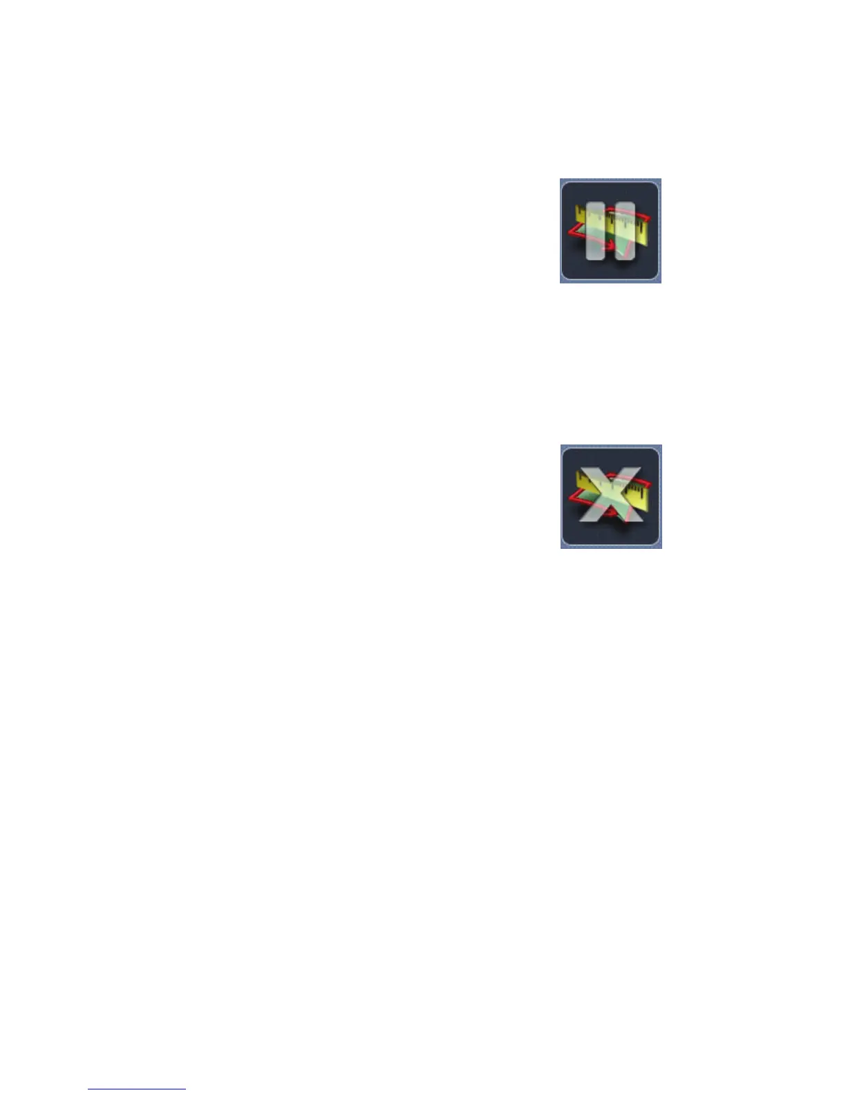
Paused - Press the pause boundary button, when the
job has been paused the button will change to the start
boundary button, press again to continue.
Completing a field boundary map
When the start point is reached the boundary will automatically close and save.
The completed boundary will be displayed in the mini map with the field size.
Manual completion
Press the end boundary button, this will close the
boundary by drawing a straight line from the current
position to the boundary start position.
Once a field boundary has been completed, it can be redone if needed by
pressing the Start Boundary button.
To do a new field boundary map for a different field the job will need to be
finished then a New Job started with the new farm / field name.
Future use for the maps
When the field boundary maps have been completed perform a WebSync to
transfer the field boundaries to WebTrack. On WebTrack the field boundaries
will be securely stored and can be viewed, deleted or printed as a single field
boundary and/or a multiple field boundary report including the total area
calculated for the fields that are held under a farm name.
The maps are vital for the following features :-
Farm/Field Auto Detect.
Headland guidance line when using the First Pass guidance feature.
Headland Warning.
Pause
Boundary
Button
End
Boundary
Button