51
4.1 Map screen
Clarion Mobile Map is primarily intended for land navigation. That is why maps in Clarion Mobile Map look
similar to paper road maps. However, Clarion Mobile Map provides much more than regular paper maps:
you can customize the look and the content of the map.
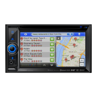
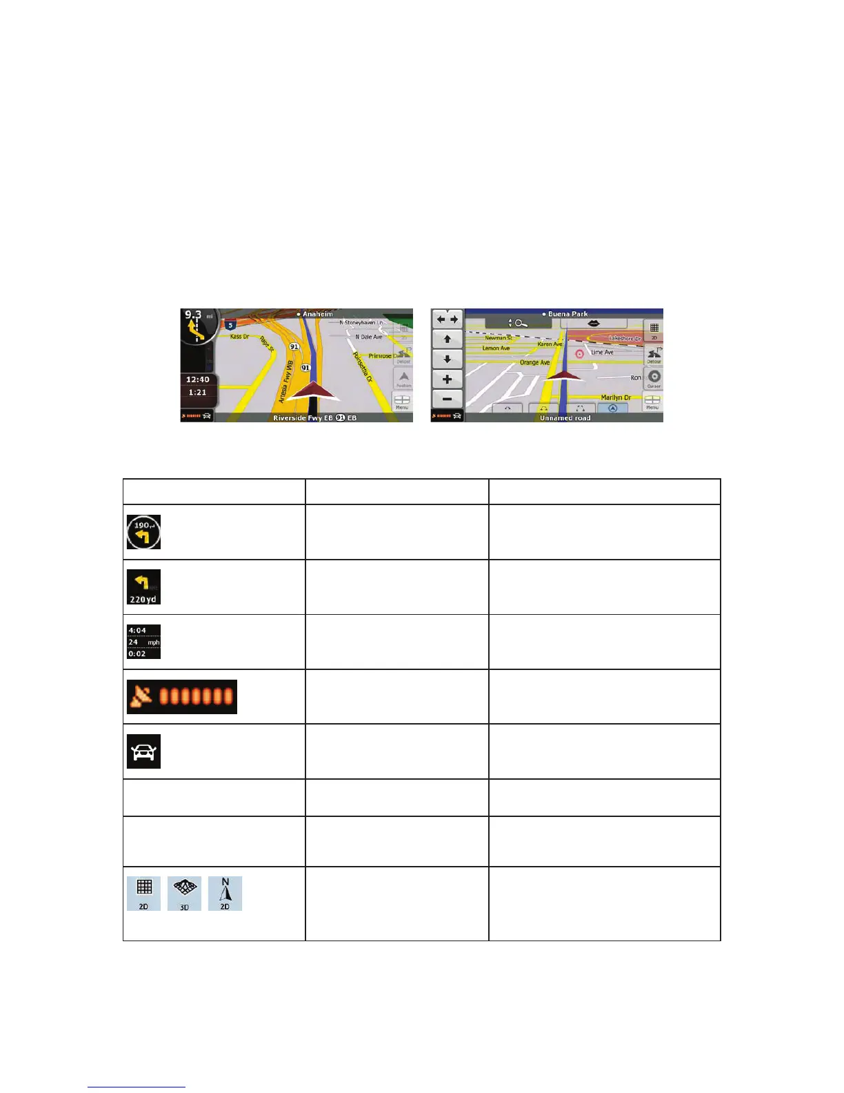
The most important and most often used screen of Clarion Mobile Map is the Map screen.
During navigation, the screen shows route information and trip data (left screenshot), but when you tap
the map, additional buttons and controls appear for a few seconds (right screenshot). Most parts of the
screen behave as buttons.
Symbol Name Action
Turn Preview, that is, the next
route event
Opens the Route Information screen
Second upcoming route event Opens the Itinerary
Trip data Opens the Trip Information screen
GPS position quality
Opens the Quick menu
Vehicle used in route
calculation
Opens the Quick menu
Top row Next street or Next city
 Loading...