Page 65 of 127
Operating Manual
OMGEM5KN – Iss. 5.1
Copyright – Geotechnical Instruments (UK) Ltd
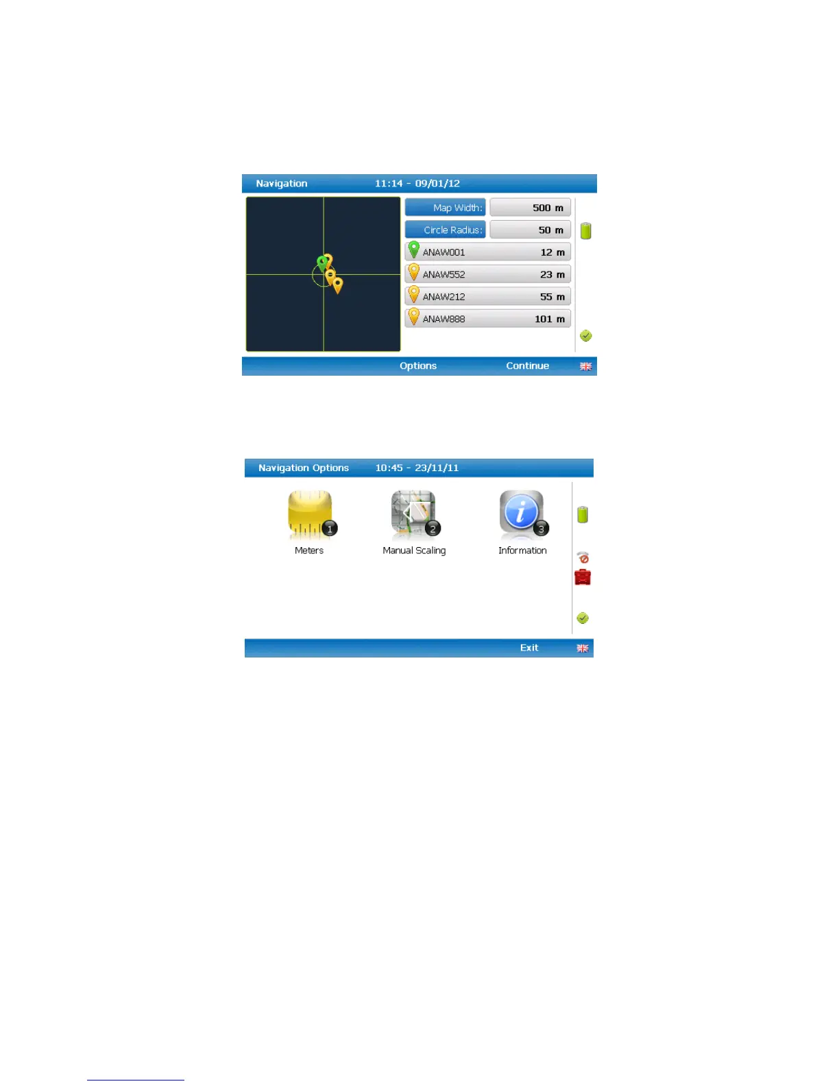
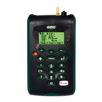
5) Once the operator selects a borehole ID the ‘GPS Navigation’ screen is displayed.
Navigation
6) If required select soft-key ‘Options’ to go to the ‘Navigation Options’ menu and the following screen
is displayed:
Navigation options
Key 1 to toggle between ‘Meters’, ‘Feet’ or ‘Yards’ to define the
unit of measurement
Key 2 to toggle between ‘Manual Scaling’ and ‘Automatic Scaling’
to locate a sample point using a satellite signal.
Key 3 to display sample point information:
‘Universal Time Code’ received from the satellite and displays
GMT.
Latitude displays as degrees, minutes, seconds and decimal
seconds. The equator is 0.
E (East) or W (West) displays the longitude as degrees, minutes,
seconds and decimal seconds. The Greenwich meridian defines
the zero point.
Altitude displays in meters, feet or yards.
This is the number of satellites that the system can select. Four
satellites will give reasonable position accuracy; eight or more
satellites will increase accuracy.