EasyManuals Logo

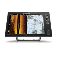
Humminbird SOLIX series User Manual

Humminbird SOLIX series
288 pages
To Next Page IconTo Next Page
To Previous Page IconTo Previous Page
Page #59 background imageLoading...
Page #59 background image
59
Chart Overview
CHART OVERVIEW
T
o enable the navigation features, the control head must have a GPS fix from an internal or external GPS receiver (see Getting
S
tarted to check the sensor reception). Some of these features also require a compass/heading sensor to be connected to the
c
ontrol head.
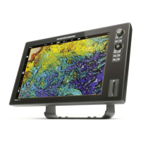
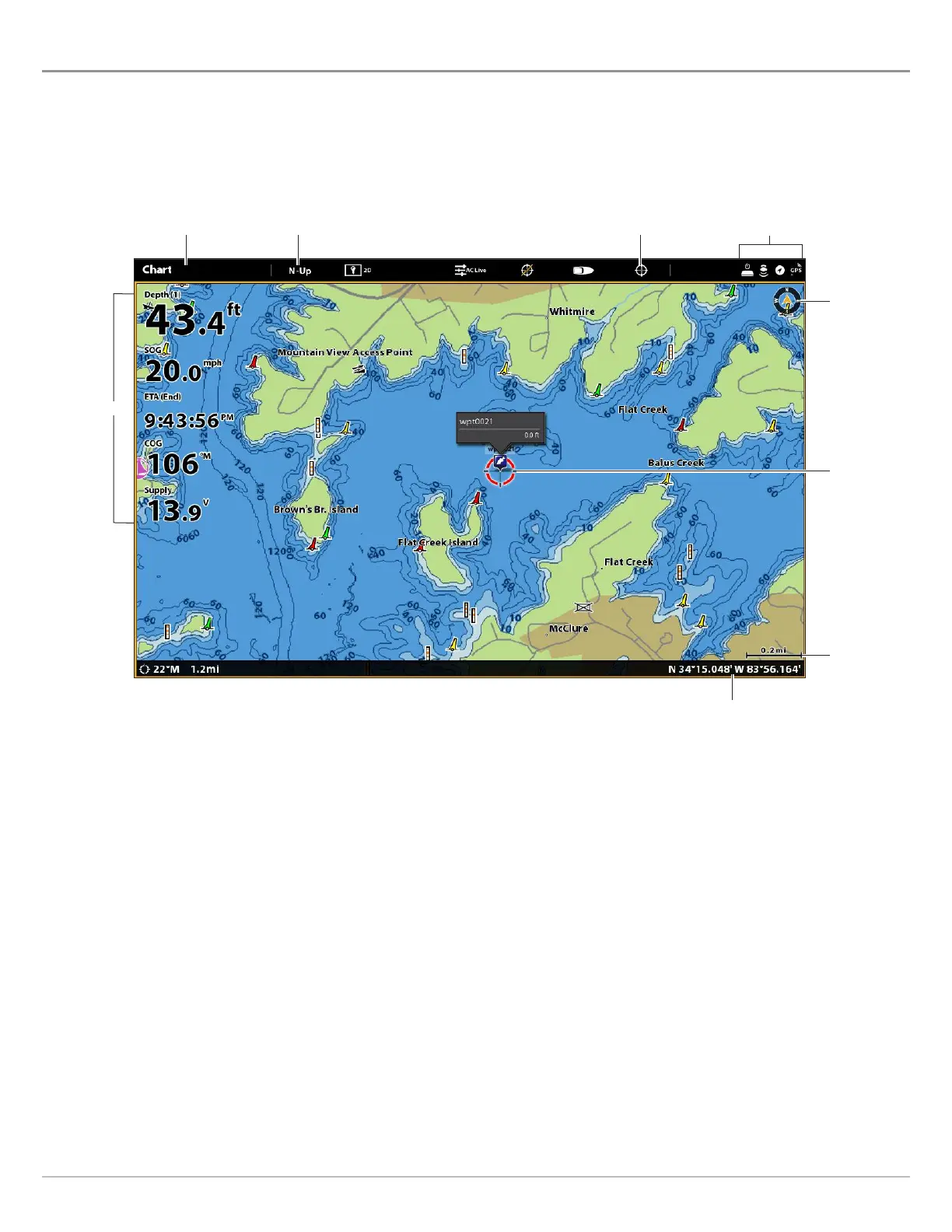
2D Chart View (Humminbird Basemap)
orientation menu show cursor
sensor status icons
cursor dialog box
north
indicator
active
cursor
map scale
X-Press Menu
data overlays

Table of Contents

Other manuals for Humminbird SOLIX series

Questions and Answers:

Question and Answer IconNeed help?

Do you have a question about the Humminbird SOLIX series and is the answer not in the manual?

Humminbird SOLIX series Specifications

General IconGeneral
Depth-Sonar StandardUp to 1, 500 feet (varies by model)
InterfaceTouchscreen
GPSYes
CartographyHumminbird Basemap
Target Separation2.5 inches
NetworkingEthernet, NMEA 2000
Memory Card SlotYes
WaterproofIPX7
Operating Frequency1.2MHz
DimensionsVaries by model
WeightVaries by model
Display Size10.1", 12.1"
Display Resolution1280 x 800 pixels (varies by model)
Operating Temperature-15°C to 55°C (5°F to 131°F)

Related product manuals