EasyManuals Logo

Humminbird SOLIX series User Manual

Humminbird SOLIX series
288 pages
To Next Page IconTo Next Page
To Previous Page IconTo Previous Page
Page #76 background imageLoading...
Page #76 background image
76
Chart Options
D
isplay an Overlay
Choose between Humminbird and Navionics.
With those locations, you just have Satellite Maps (ON), 100%, and Land highlighted. The zoom level has to be less than 2 miles.
1
. Open the Layers Menu: Tap the Layers Menu icon in the task bar.
2. Select Humminbird or Navionics.
3. Humminbird: Select Map Overlay or Base Layer. Select 2D Map, AutoChart, or SI Mosaic.
Navionics: Select Satellite Maps, Land, Land + Shoals, or Land + Sea.
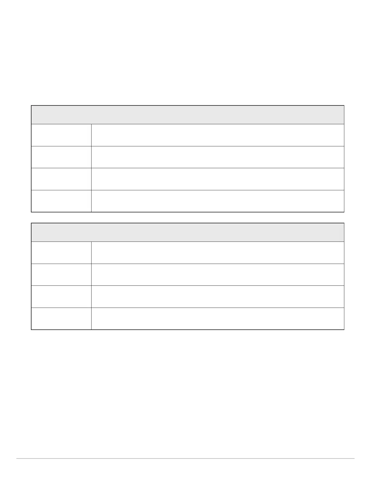
Humminbird Satellite Overlay Options
2D Map Select 2D Map to display
AutoChart Select AutoChart
Land + Shoals Select Land + Shoals to display the satellite layer over land and shallow water.
Land + Sea Select Land + Sea to display the full satellite layer.
Navionics Satellite Overlay Options
Satellite Maps Select Satellite Maps
Land Select Land to display the satellite layer over land only.
Land + Shoals Select Land + Shoals to display the satellite layer over land and shallow water.
Land + Sea Select Land + Sea to display the full satellite layer.

Table of Contents

Other manuals for Humminbird SOLIX series

Questions and Answers:

Question and Answer IconNeed help?

Do you have a question about the Humminbird SOLIX series and is the answer not in the manual?

Humminbird SOLIX series Specifications

General IconGeneral
Depth-Sonar StandardUp to 1, 500 feet (varies by model)
InterfaceTouchscreen
GPSYes
CartographyHumminbird Basemap
Target Separation2.5 inches
NetworkingEthernet, NMEA 2000
Memory Card SlotYes
WaterproofIPX7
Operating Frequency1.2MHz
DimensionsVaries by model
WeightVaries by model
Display Size10.1", 12.1"
Display Resolution1280 x 800 pixels (varies by model)
Operating Temperature-15°C to 55°C (5°F to 131°F)

Related product manuals