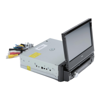
31
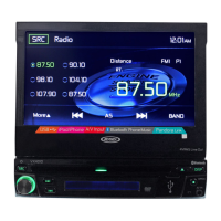
VX6020
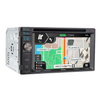
Elements of the Active Route
iGO primo shows the route in the following way:
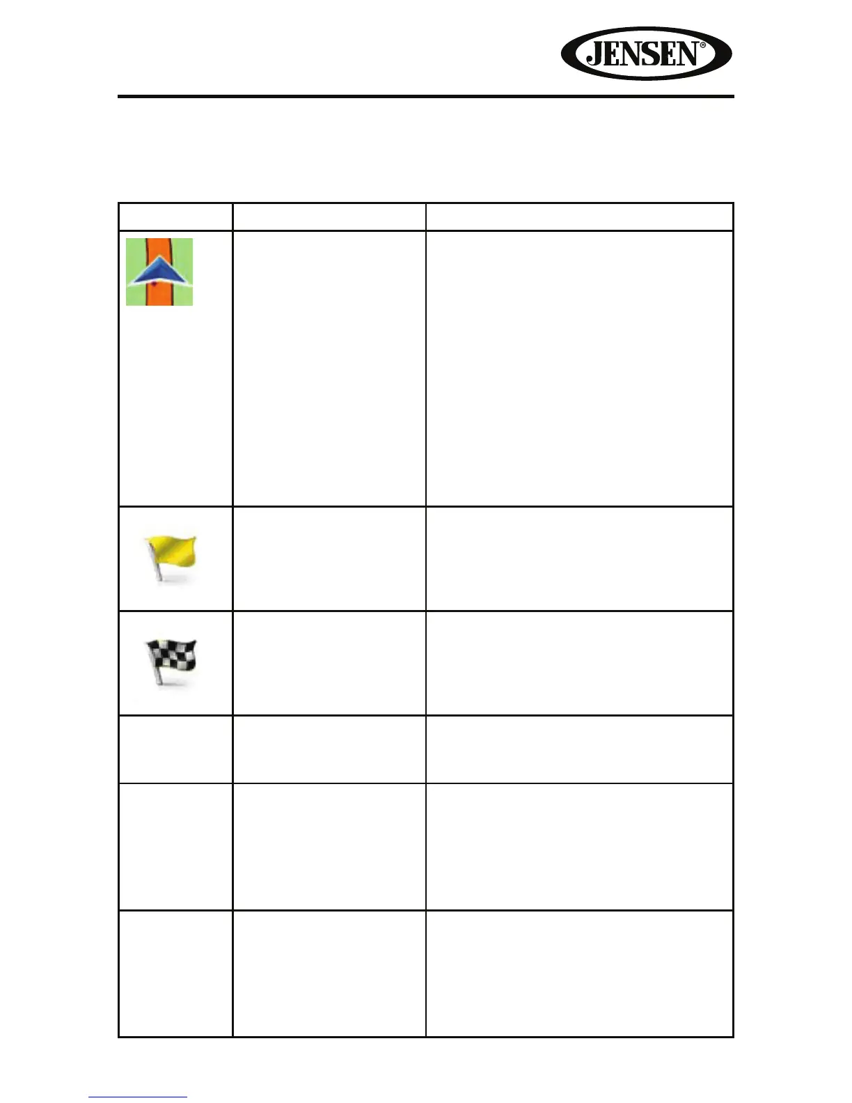
Symbol Name Description
Current GPS position
and Start point
Your current position displayed on the
map.
• In pedestrian mode it is the exact
GPS position.
• If a vehicle is selected for route
calculation and roads are near, the
symbol is snapped onto the nearest
road.
Normally if GPS position is available,
the route starts from the current
position. If there is no valid GPS
position, iGO primo uses the last
known position as the start point.
Waypoint (intermediate
destination)
An intermediate destination of
the route before reaching the nal
destination.
Destination (end point) The nal destination of the route.
Route color The route always stands out with its
color on the map, both in daytime and
in night color mode.
Streets and roads that
are excluded from the
navigation
You can choose whether you want
to use or avoid certain road types.
However, when iGO primo cannot
avoid such roads, the route will include
them and it will show them in a color
that is dierent from the route color.
Streets and roads that
are aected by trac
events
Road segments may be aected by
trac events received. These streets
and roads are displayed in an alternate
color, and small symbols displayed
along the route show the type of the
trac event.