Chapter 9 Learn Geode Connect for Windows PC 121
Owner's Manual
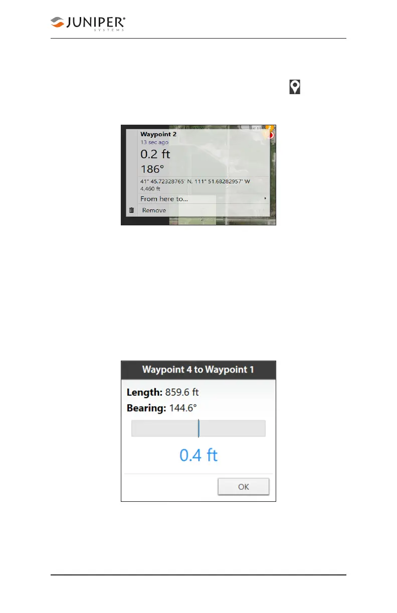
9.3.1 Capture, View, and Compare Waypoints
To capture waypoints, place the Geode in the position you
would like to capture, and tap the waypoint icon .
View waypoint information by selecting a specific waypoint
on the map.
Geode Connect will show you the waypoint’s distance
and bearing compared to your current position. It will also
display the latitude, longitude, and altitude of the waypoint.
To delete the waypoint, tap Remove.
To compare the waypoint to another waypoint,
1. Tap From here to. . .
2. Select the waypoint you want to compare your current
position to.
The blue shaded area represents the cross track error
between where you are now and what you need to do to
get back on the direct path between the two waypoints.