10 Chapter 2 Geode Features
Geode GNS3 Real-Time Sub-Meter GPS Receiver
They include flat, open landscapes with clear skies and no
buildings or trees interfering with the receiver’s direct line-
of-sight to at least four, perfectly positioned satellites. But
even these ideal conditions require corrections because
the ionosphere is constantly changing and users have no
control over satellite orbits or timing.
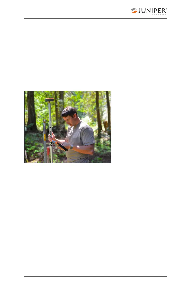
The Geode is built to be a rugged, go-anywhere GNSS
receiver. It is built to perform in all environments, no matter
how challenging. This extends even to its receiver
capabilities. As with all receivers, it will be more accurate
under ideal
conditions, but it also
has the ability to
access and integrate
data from various
correction and
satellite augmentation
services so it can
provide real-time high
accuracy positions in
the rugged, less-than-
ideal environments it
was built for.
2.3.1 SBAS Differential Correction
The Geode receives Satellite Based Augmentation System
(SBAS) data. SBAS includes regional networks of ground
and satellite technologies that work together to boost
the accuracy and dependability of GPS data. SBAS uses
stationary land-based GPS monitors to calculate GPS
position errors caused by ionospheric disturbances. This
error causes delays in timing, which result in position errors.
To calculate GPS position errors, GPS data from satellites
are compared against the precisely documented locations
of each land-based station. Any discrepancy is determined
to be an error. These errors are sent to the master control
station, which create a real-time regional model for
correcting ionospheric errors. This correction model, also
known as an ionospheric map, is sent to geostationary
satellites and broadcast throughout the region. These