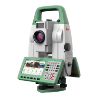
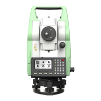
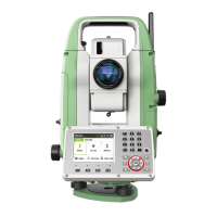
1.2 Definition of Use
•
Me
asuring horizontal and vertical angles.
•
Measuring distances.
•
Recording measurements.
•
Automatic target search, recognition and tracking.
•
Visualising the aiming direction and vertical axis.
•
Remote control of product.
•
Data communication with external appliances.
•
Measuring raw data and computing coordinates using carrier phase and
code signal from GNSS satellites.
•
Recording GNSS and point related data.
•
Computing with software.
•
Us
e of the product without instruction.
•
Use outside of the intended use and limits.
•
Disabling safety systems.
•
Removal of hazard notices.
•
Opening the product using tools, for example screwdriver, unless this is
permitted for certain functions.
•
Modification or conversion of the product.
•
Use after misappropriation.
•
Use of products with recognisable damages or defects.
•
Use with accessories from other manufacturers without the prior explicit
approval of Leica Geosystems.
•
Deliberate dazzling of third parties.
•
Controlling of machines, moving objects or similar monitoring application
without additional control and safety installations.
•
Aiming directly into the sun.
•
Inadequate safeguards at the working site.
1.3 Limits of Use
Suitable for use in an atmosphere appropriate for permanent human habita-
tio
n: not suitable for use in aggressive or explosive environments.
WARNING
Working in hazardous areas, or close to electrical installations or simi-
lar sit
uations.
Life Risk.
Precautions:
▶
Local safety authorities and safety experts must be contacted by the per-
son responsible for the product before working in such conditions.
1.4 Responsibilities
Leica Geosystems AG, CH-9435 Heerbrugg, hereinafter referred to as Leica
G
eosystems, is responsible for supplying the product, including the User Man-
ual and original accessories, in a safe condition.
Intended use
Reasonably
f
orseeable misuse
Environment
Manufacturer of the
pr
oduct
Safety Directions 7