XTE limit
Defines how far the vessel can deviate from the selected route. If
the vessel goes beyond this limit, an alert is activated.
Coordinate system
Used to set the geographic coordinate system used on your system.
Datum
This system uses the WGS datum format, which is a standard for use
in cartography and satellite navigation (including GPS).
You can change the datum format to match other systems.
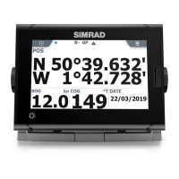
Units settings
Used for specifying the units of measurement.
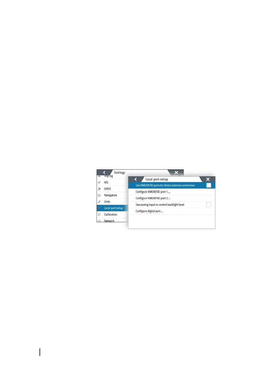
Local port setup
Use NMEA 0183 ports for direct antenna connection
Used if the antenna is directly connected to the NMEA 0183 ports.
When activated, there will be limited options for configuring the
NMEA 0183 ports.
36
Software setup | P2005/P3007 Operator Manual