12
User Manual
• Power Cable (with cigarette lighter adapter)
• Velcro Leg Strap
• User Manual
Optional Accessories:
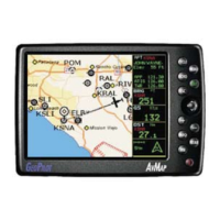
• C-Map NT + Regional Compact Flash
• PC/Data cable
C-Map NT + Compact Flash (cartography and aeronautical data cards) are
available through your local dealer. For additional information on C-MAP
Cartography visit our web site at: http://aviation.c-map.com.
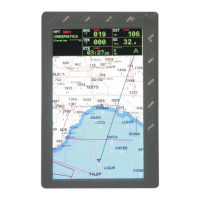
1.1.1 SPECIFICATIONS
MAIN CHARACTERISTICS
Recordable Individual points
• Waypoints :1000
• Type of User Waypoint Icons :16
Flight Plans
• Flight Plans :10
• Max Waypoints per Flight Plan:100
Tracking
• Tracks :1
• Track Colors :7
• Points per Track :5000
• Step by Distance :Auto, 20, 100, 500 Mt, 1Km; 5, 30 Sec, 1 Min
Cartographic Functions
• Worldwide Background
• Built-in Continental Cartography
• Coordinates System (DDD MM SS, DDD MM.mm, DDD MM.mmm, UTM,
OSGB, MGRS)
• North Reference
• Auto Zoom
• Map Presentation (Aero+Terrestrial, Aeronautical, Marine)
POI Settings
• Selective and cycled Display
• VFR (Airports, VOR, NDB, Intersections, Vertical Obstructions, Aero Ob-
jects Id, Enroute Communications)
• Airspace (Controlled Areas, Restricted Areas, FIR & UIR, MORA)
• Land (Roads, Road Labels, Railroads, City Names, Rives and Lakes, Cultural
Features, Natural Features, Landmarks, POI Objects)
• Marine (Lights, Chart Boundaries, Bathymetric & Soundings, Bathymetric &
Soundings Range, Depth Area Limit, Navigational Aids, Attention Areas,
Tracks & Routes)