©
2018 DJI All Rights Reserved.
27
Phantom 4 RTK User Manual
RTK Functions
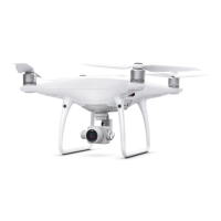
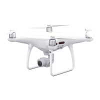
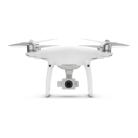
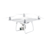
The Phantom 4 RTK has a built-in DJI Onboard D-RTK, which provides more accurate data for centimeter-
level positioning to improve operation precision when using with the DJI D-RTK 2 High-Precision GNSS
Mobile Station or Network RTK service. The onboard D-RTK, providing precision position and speed
information combined with optimized algorithms, is more accurate than a standard compass sensor and
functions even with magnetic interference from metal structures, ensuring stable ight. If the RTK signal is
weak and dierential data cannot be transmitted during a Photogrammetry or Waypoint Flight operation,
users can read the raw satellite observations* recorded in the microSD card in the aircraft after the ight, and
then use PPK technology to achieve centimeter-level positioning.
Enable/Disable RTK
Ensure that the “RTK Function” is enabled and RTK service type is correctly set (D-RTK 2 Mobile Station or
Network RTK service) before each use. Go to Camera View in the DJI GS RTK app >
> RTK to view and
set.
Make sure to disable RTK function if not in use. Otherwise, the aircraft will not be able to take o when there
is no dierential data.
Using with the DJI D-RTK 2 Mobile Station
1. Refer to the D-RTK 2 Mobile Station User Guide to complete linking between the aircraft and the mobile
station and setup of the mobile station.
2. Power on the mobile station and wait for the system to start searching for satellites. The RTK status icon
on top of the Camera View in the DJI GS RTK app will show to indicate that the aircraft has obtained
and used the dierential data from the mobile station.
After enabling the RTK function and connecting to a data source, be sure to wait for the aircraft’s
RTK module to nish initializing and the RTK / GNSS signal strength icon in the app shows FIX so
that the aircraft can take o.
* The raw satellite observations are stored in the same directory as the aerial photos. They will only be recorded
during Photogrammetry or Waypoint Flight operations. For Waypoint Flight operations, route recording
should be disabled in Route Settings. Otherwise, the raw satellite observations cannot be recorded. In other
situations, such as ying the aircraft and shooting manually, the data will not be recorded.
Using with the Network RTK Service
The Network RTK service uses the remote controller instead of the base station to connect to an approved
Network RTK server for dierential data. Keep the remote controller on and connected to the Internet when
using this function.
1. Ensure that the remote controller is connected to the aircraft and has access to the Internet.
2. Go to Camera View in the DJI GS RTK app > > RTK, select the RTK service type to custom network
RTK, and then input the network information.
3. Wait for the remote controller to be connected with the Network RTK server. The RTK status icon on top
of the Camera View in the DJI GS RTK app will show to indicate that the aircraft has obtained and
used the RTK data from the server.
 Loading...


