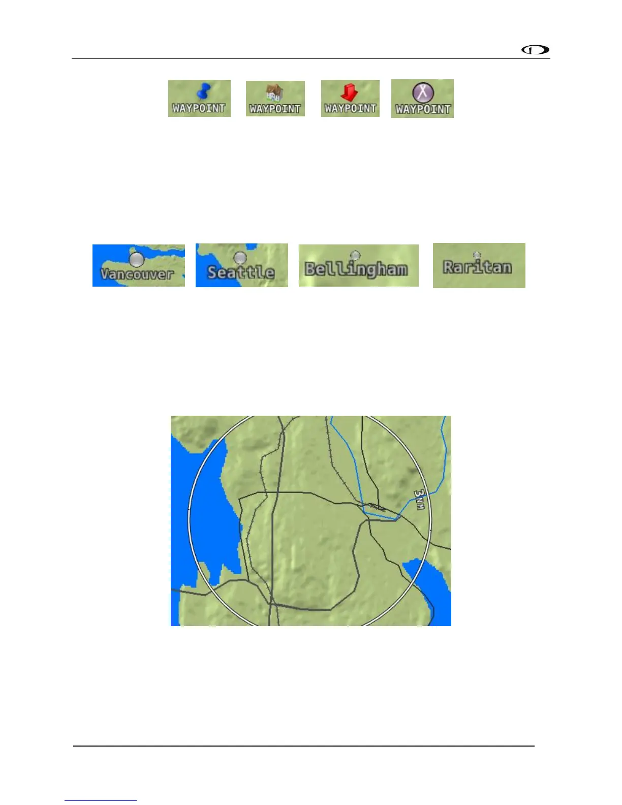
Figure 101 - User Waypoint Icon Examples
Cities
SkyView displays cities and towns on the map. Their prominence on the map is determined by
population.
Figure 102 - Places on Moving Map
Motorways, Primary Roads, Railroads, and Rivers
SkyView displays motorways as thick solid black lines, primary roads as thinner solid black lines,
railroads as thin dark lines with railroad “ties”, and rivers as thin blue lines:
Figure 103 - Roads, Railroads, and Rivers
Enroute VFR, IFR Low Altitude, IFR High Altitude Charts
When a USB stick with supported enroute charts is connected to your SkyView display(s),
enroute chart options will be available under MAP > LAYERS.