Tail numbers will be shown below traffic targets when available. These can only be
shown if your aircraft is equipped with Dynon Avionics’ ADS-B receiver, and will
only be shown for target
aircraft that are ADS-B OUT
equipped. Aircraft with Mode-
C transponders or Mode-S
transponders without
extended squitter support will
not have tail numbers shown:
Although weather and TFR information are available any time the SV-ADSB-470 is in
an ADS-B ground station coverage area, ADS-B TIS-B traffic is only available if an
ADS-B Out capable transponder is installed and is providing ADS-B out position
reports into the ADS-B system.
Useful information about the ADS-B traffic and weather systems can be found in
the FAA AIM: http://www.faa.gov/air_traffic/publications/ATPubs/AIM/aim.pdf
For updated coverage maps see the FAA’s website:
http://www.faa.gov/nextgen/implementation/programs/adsb/
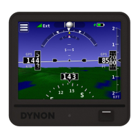
Traffic Target Information
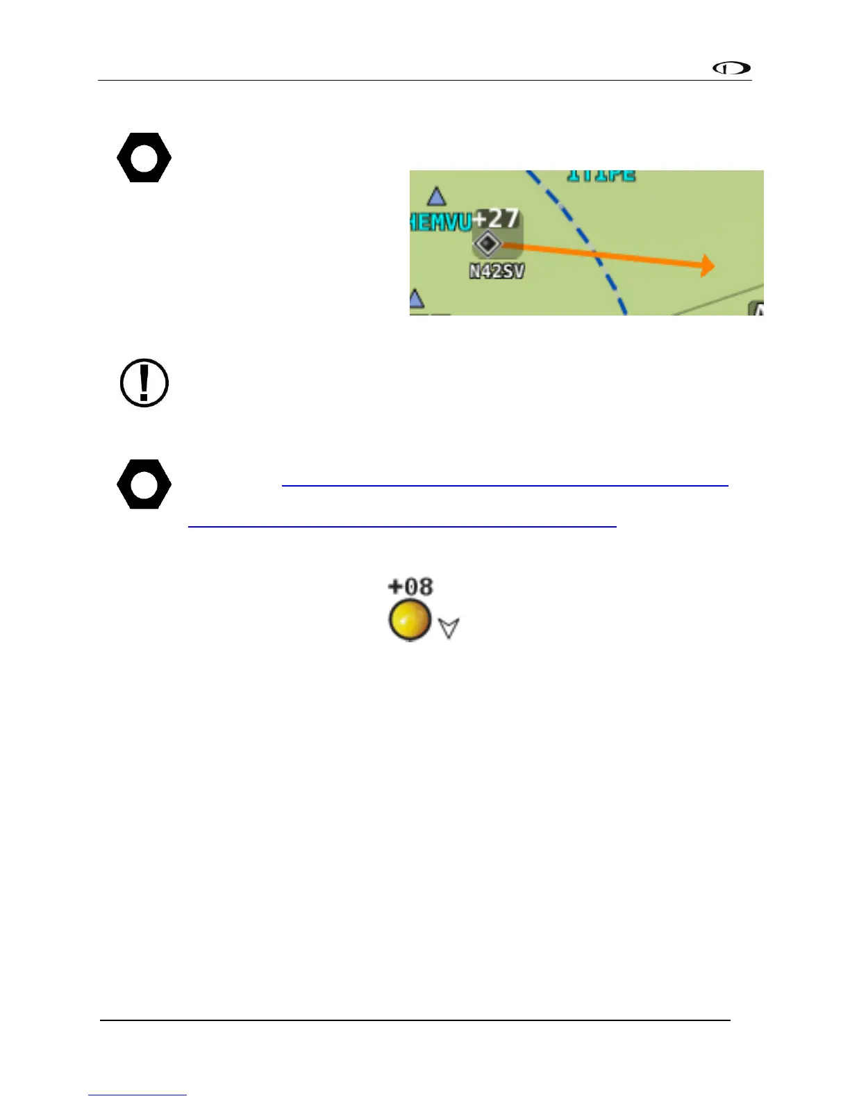
Figure 107 - Traffic Target
Traffic is displayed using a set of symbols that are commonly used in aviation for traffic/TCAS
systems. As seen in Figure 107, this includes:
• A symbol that depicts the type of traffic. It can be a Traffic Advisory Symbol,
Proximity Advisory Symbol, or Non-Threat Symbol. These are further discussed later
in this section. Data being received by a TIS device, such as the SV-XPNDR-26X, is
limited to 8 simultaneous targets by the inherent capability of the TIS system. If
there are more than 8 traffic targets that are potential threats, the TIS ground
station determines the highest priority targets and transmits them to your aircraft.
• Relative altitude in hundreds of feet is displayed above the symbol as a signed
integer. So, the target in Figure 107 is +08, or 800 feet higher than our aircraft. This
area is blank if the altitude of a target is not known.
• An up or down arrow to the right of the traffic symbol indicating whether the
aircraft is climbing or descending, if available from the traffic source. No arrow is