______________________________________________________________________________
____________________________________________________________________________
LMM for the Kodiak 100 Page 7-25
190-02102-00 Rev.4
Although Section 7.6.3 indicates the Magnetometer Calibration Procedure
should be performed by making a series of clockwise turns around the site,
the procedure can also be performed by making counter-clockwise turns
for the purpose of evaluating the site for magnetic disturbances.
If, upon completion of the Magnetometer Calibration Procedure in both the clockwise and
counter- clockwise directions, the PFD displays the CALIBRATION SUCCESSFUL /
SITE IS CLEAN message, the candidate site is sufficiently free of magnetic disturbances
and is acceptable for performing the Magnetometer Calibration Procedure. It is important
to perform the procedure in both the clockwise and counter-clockwise directions to
ensure the magnetometer sweeps over a large enough area at the candidate site.
If, upon completion of the Magnetometer Calibration Procedure in either of the two
directions, the PFD displays either the MAG FIELD AT SITE NOT UNIFORM, or MAG
FIELD AT SITE DIFFERS FROM IGRF MODEL message, the site contains magnetic
disturbances that are too large.
The Magnetometer Calibration Procedure must consistently report CALI-
BRATION SUCCESSFUL / SITE IS CLEAN in both the clockwise and
counter-clockwise directions for the site to be considered acceptable. More
than one failure out of ten attempts in a given direction would be sufficient
reason to conclude the site is not acceptable.
A site that is used repeatedly to perform the Magnetometer Calibration Procedure should
be re-evaluated every 12 months, and after any significant construction or placement of
magnetic objects (above or below ground) within 50 meters of the location.
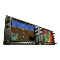
After calibration, the aircraft can now be taxied back and the engine can be shut down for
final testing. Restart both displays in normal mode to conduct final system checks. When
the PFDs start in normal mode, the AHRS attitude and heading information displayed
should become valid within one minute of system start (provided both GPS receivers
have a valid position; if GPS is unavailable, AHRS initialization may take as long as 2
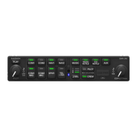
minutes). Test the AHRS reversionary paths by pressing the red reversionary mode
button on the audio panel. Ensure that both PFDs display valid AHRS information.
 Loading...


