Do you have a question about the Leica MX400 and is the answer not in the manual?
Important safety and operational advisories for GPS and DGPS usage.
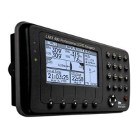
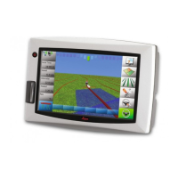
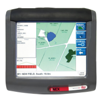
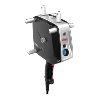
Details the different hardware models and their capabilities.
Explains the components and operation of the DGPS beacon system.
Explains the meaning of DGPS and GPS traffic light status signals.
Describes the softkeys, function keys, and overall display layout.
Introduces the different navigation display screens.
Details the 3D runway view for active route navigation.
Introduces the Route (RTE) screens.
Manages the current active route for navigation.
Stores predefined routes for later use.
Covers methods for creating and modifying routes.
Introduces the waypoint storage and management features.
Details the process of creating and modifying waypoints.
Explains how to protect waypoints from modification or deletion.
Introduces the PLOT screens for graphical route display.
Displays graphical information relative to the boat's position.
Shows current tide conditions graphically and digitally.
Manages tide table data for various ports.
Displays logged system alarms and their status.
Shows software version, hardware configuration, and serial number.
Introduces the position display screens.
Provides the largest presentation of coordinate information.
Introduces the GPS status and health screens.
Displays current satellite tracking information.
Shows satellite health status and data.
Introduces the DGPS correction status screens.
Displays the status of DGPS corrections.
Allows viewing and managing active and inactive alarms.
Configures navigation mode, XTE, and waypoint criteria.
Manages data inputs and NMEA outputs.
Configures language, lighting, time, and security.
Lists datums and their abbreviations.
Provides a list of DGPS beacon stations.
Details how to reset the receiver to factory default settings.
Covers troubleshooting for GPS performance issues.
Explains the setup and operation of dual control units.
Describes how to enable and use the demonstration mode.
Lists software versions and their changes.
Provides definitions for important terms used in the manual.
| Operating Temperature | -40°C to +65°C |
|---|---|
| Category | GPS Receiver |
| Frequency Bands | GPS L1/L2, GLONASS L1/L2 |
| Positioning Accuracy (RTK) | 15 mm + 1 ppm vertical |
| Positioning Accuracy (Static) | 3 mm + 0.5 ppm horizontal, 5 mm + 0.5 ppm vertical |
| Communication Interfaces | USB, Bluetooth |