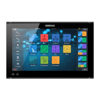
Chart settings
Settings and display options made in the Chart settings page are common for all chart
panels.
3D boat selection
Determines which icon to use on 3D charts.
Boat settings
The boat settings are used when calculating an automatic route. The boat's draught, width
and height must be input to use Navionics Dock-to-dock autorouting and easy routing
features.
Ú
Note: Dock-to-dock Autorouting is not available in units used in U.S. territorial waters.
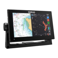
Range Rings
The range rings can be used to present the distance from your vessel to other chart objects.
The range scale is set automatically by the system to suit the chart scale.
Extension lines
Sets the lengths of the extension lines for your vessel and for other vessels shown as AIS
targets.
A: Heading
B: Course Over Ground (COG)
The lengths of the extension lines are either set as a fixed distance, or to indicate the distance
the vessel moves in the selected time period. If no options are turned on for the vessel then
no extension lines are shown for your vessel.
Your vessel heading is based on information from the active heading sensor and the COG is
based on information from the active GPS sensor.
For other vessels, COG data is included in the message received from the AIS system.
Charts | NSO evo3 Operator Manual
39