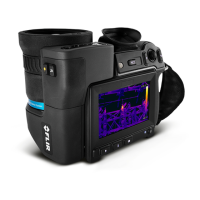
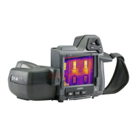
Technical data26
Image annotations
Image description Add short note (stored in the JPEG exif tag)
Sketch
• Draw on the thermal/digital image or add pre-
defined stamps
• Separate PC software with extensive report
generation
Geographic Information System
GPS Location data automatically added to every image
from the built-in GPS
Compass Camera direction automatically added to every
image
Video recording in camera
Radiometric IR-video recording Real-time radiometric recording (RTRR) to the
memory card
Non-radiometric IR-video recording H.264 to the memory card
Visual video recording H.264 to the memory card
Video streaming
Radiometric IR-video streaming
• Full dynamic un-compressed 120 Hz 16-bit full
frame (2 Gbit) to a PC using an HSI box
• Real-time radiometric streaming 30 Hz (RTRS)
via USB
Non-radiometric IR-video streaming
• H.264 video using Wi-Fi
• H.264 video using USB
Visual video streaming
• H.264 video using Wi-Fi
• H.264 video using USB
Windowing
• 30 Hz: 1024 × 768 (full image height)
• Based on 30 Hz: 120 Hz windowing 1024 ×
192 (¼ of full image height), for range –40 to
+150°C (–40 to +302°F)
• 120 Hz: 1024 × 768 (full image height)
• Based on 120 Hz: 240 Hz windowing 1024 ×
384 (½ of full image height), for range 0 to
+650°C (+32 to +1202°F) and range +300 to
+2000°C (+572 to +3632°F)
Digital camera
Built-in digital camera 5 Mpixel with LED light
Digital camera Field of view adapts to the infrared lens
Video lamp Built-in LED light
Laser pointer
Laser Activated by a dedicated button
Laser alignment Position is automatically displayed on the infrared
image
Laser classification Class 2
Laser type
Semiconductor AlGaInP diode laser, 1 mW, 635
nm (red)
Data communication interfaces
Interfaces USB Micro-B, Bluetooth, Wi-Fi, HDMI, USB3 Vi-
sion via HSI box
Bluetooth Communication with a headset
Wi-Fi Infrastructure (network) or AP
#T559954; r. AP/42311/42335; en-US
177
 Loading...