Chapter 1: Overview 1
Chapter 1: Overview
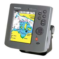
1.1 RC400 GPS Chartplotter
Display Features and Functions
The RC400 GPS Chartplotter includes the following features:
• Detailed navigation information from installed Navionics
®
Gold
Chart card
• Positional information from Satellite Differential GPS
• GPS satellite status
• Create, Place, Move, Edit or Erase a Waypoint
• GoTo Waypoint, Port, Facility or Cursor
• Create, Save, Name, Edit or Follow a Route
• Review Route and Waypoint Lists
• Display Tide Heights, Tide Currents, Sun and Moon data
• Display vessel’s position, direction and track on-screen
• Convert a track to a route (SmartRoute)
• Alarms and Timers
• Man OverBoard (MOB) to navigate back to a missing person or
object
• Display and keys illuminated for night-time use
Operating Controls and Display Layout
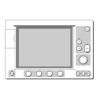
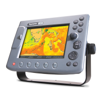
The chartplotter is operated by means of the following controls:
• A multi-direction trackpad with context sensitive cursor
• Seven dedicated and labelled push-buttons
The main navigation display also features:
• Dedicated status panel
• Dynamic function bar
• On-screen pop-up menus
• Database lists for storing waypoints and routes

 Loading...
