97
User Manual
TM5e & TM5i
FEATURES & FUNCTIONS
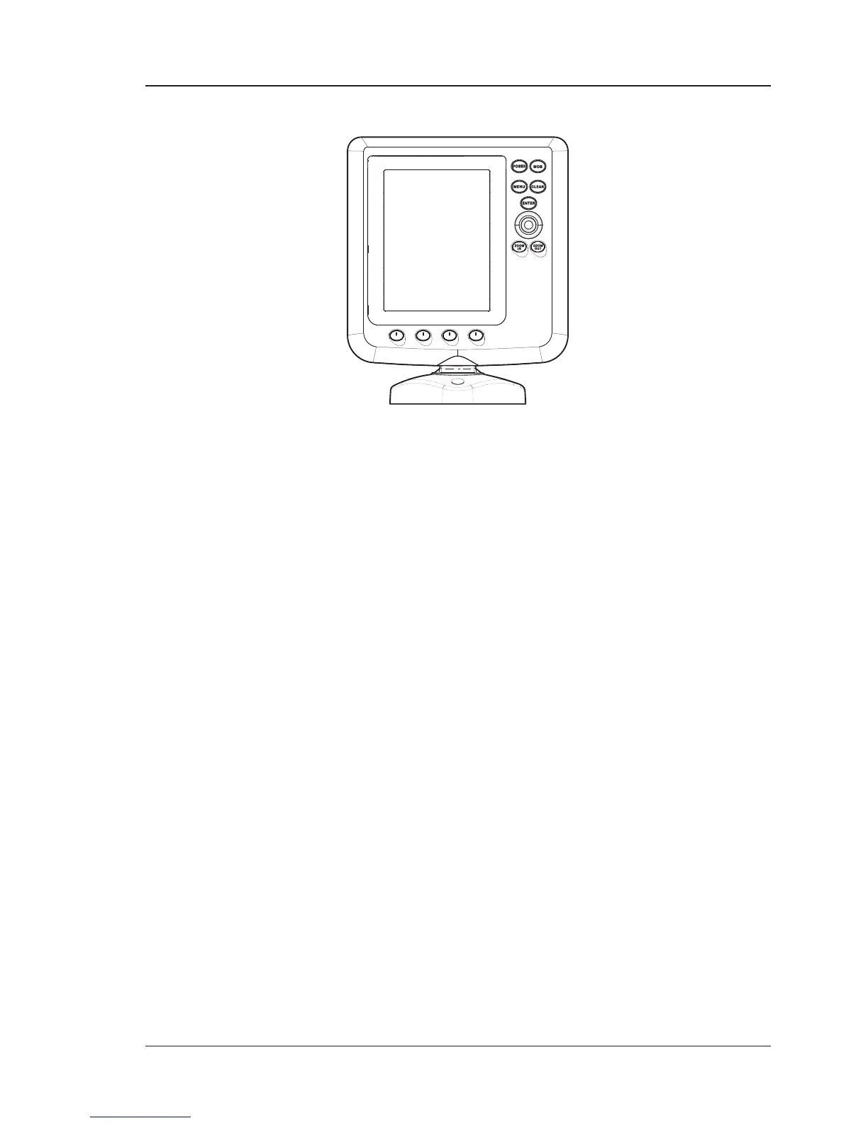
♦ Direct Sunlight Viewable Color LCD Vertical Display
♦ Worldwide Built-in Cartography showing C-MAP BY JEPPESEN detail up to
2.0 NM
♦ "C-MAP BY JEPPESEN" MAX electronic charts, object-oriented chart sys-
tem with enhanced functionality including:
Guardian alarm, Safety Status Bar, Safe Route Checking
Perspective View
Satellite Image Coverage
Turbo and Smooth Zoom
Multilanguage
Enhanced Port Information database
Tides & Currents data
Photos & Diagrams
Automatic Information on all chart objects and User Points
Find function for Ports Services, Ports By Name, Ports By Distance,
Tide Stations, Wrecks, Obstructions, Lakes Information, Lakes By
Name, Points Of Interest, Cursor, Coordinates and User Points
♦ Positional information from GPS
♦ Depth Graph pages
♦ Navigation Data page
♦ 3D Road page
♦ GPS Status page
♦ Gauges pages
♦ AIS Report List page
♦ Fish Finder pages
1
♦ 5000 Waypoints/Marks and 25 Routes (200 Waypoints max per Route)
♦ 5000 Track Points
♦ Create, Move, Insert, Edit, Delete, Send, Receive Waypoint
♦ Create, Move, Edit, Delete, Send, Receive Mark/Event
♦ Navigation to Goto
♦ Create, Save, Name, Edit, Delete, Send, Receive or Follow a Route