Glossary
51
P/N: 1004636-01
Glossary
B
BDS – BeiDou Navigation Satellite System maintained and operated by China. See also, BeiDou.
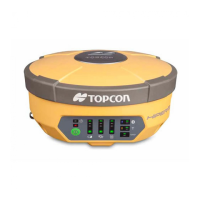
Base Station – A GNSS receiver set up over a known point, which is used to derive correction information for
nearby Rover (mobile) GNSS receivers.
BeiDou – Navigation Satellite System maintained and operated by China. See also, BDS.
Bluetooth® – Often used in place of cables, Bluetooth is open wireless technology for exchanging data over
short distances from fixed and mobile devices.
C
G
GALILEO – The satellite system currently being maintained and operated by the European Union (EU) and
European Space Agency (ESA).
GGD – GPS + GLONASS Dual Frequency signal tracking.
GLONASS – The Global Navigation Satellite System maintained and operated by the Russian Federation.
GNSS – Global Navigation Satellite Systems, such as GPS and GLONASS.
GPS – The Global Positioning System maintained and operated by the United States Department of Defense.
L
L1 – The primary L-band carrier used by GPS and GLONASS satellites to transmit satellite data.
L2 – The secondary L-band carrier used by GPS and GLONASS satellites to transmit satellite data.
Light-Emitting Diode (LED) – Used as indicator lights on the receiver to display the status of the receiver’s
components and control receiver operations.
M
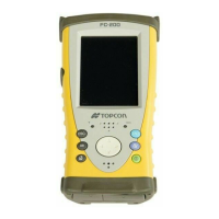
MAGNET Field™ – Data controller software that is part of the MAGNET software system.
MAGNET Office™ – Post-processing and CAD solution software for surveying and grade application. It is part of
the MAGNET software system.
MINTER – The receiver’s Minimum Interface used to display and control data input and output.
N
Network RTK – Collects satellite observations from the reference stations within the network and sends RTK
corrections to the Rover.
O
Option Authorization File (OAF) – This enables the specific features that a customer purchases.
P
Phase Center of Antenna – The point from which the electromagnetic radiation spreads spherically outward,
with the phase of the signal being equal at any point on the sphere.
Pocket-3D – Field controller software by Topcon that supports both GNSS and TS.