121
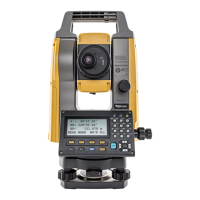
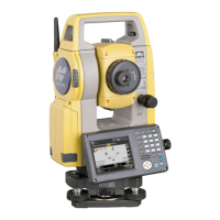
20. CHANGING THE SETTINGS
Items set and options (*: Factory setting)
Distance mode : Sdist (slope distance)*, Hdist (horizontal distance),
V.dist (height difference)
Hdist & : Ground*, Grid
Tilt crn (tilt correction) & : Yes (H,V)*, No, Yes (V)
Tilt error : No action*/Go to <Tilt> (electric circular level is
displayed)
Coll.crn. (collimation correction) & :No, Yes*
C&R crn. : No, Yes(K=0.142),Yes(K=0.20)*
V manual : No*, Yes
V.obs (vertical angle display method) & : Zenith*, Horiz., Horiz ±90
Coordinates : N-E-Z*, E-N-Z
Sea level crn. (Sea level correction) & :Yes, No*
Ang.reso. (Angle resolution) : PS-101A/101AS/101AC/102A/102AC: 0.5", 1"*
PS-103A/103AS/103AC/105A/105AC: 1"*, 5"
Dist.reso. (Distance resolution) : 0.1mm, 1mm*
ppm setting : Press, Temp.*, +Humidity
CSetting "V manual" to "Yes": "27.2 Manually Indexing the Vertical Circle by Face Left, Face Right
Measurement"
& Hdist
The instrument calculates horizontal distance using slope distance values. Horizontal distance
display can be selected from the following methods.
Ground: Distance without sea level correction
Grid: Distance on the rectangular coordinates system calculated by sea level correction
(When "Sea level crn." is set to "No", Distance on the rectangular coordinates
system without correction)
Mean sea level
Plane rectangular
coordinates system
Projection
distance
Ground
Grid
Slope distance
 Loading...