Leica mojo3D, Setting Guidance Types 69
5. On the dialog box that appears:
• tap to save the wayline to memory.
An on-screen keyboard appears. Enter a name for the wayline, and tap .
OR
• tap to use the wayline without first saving it to memory.
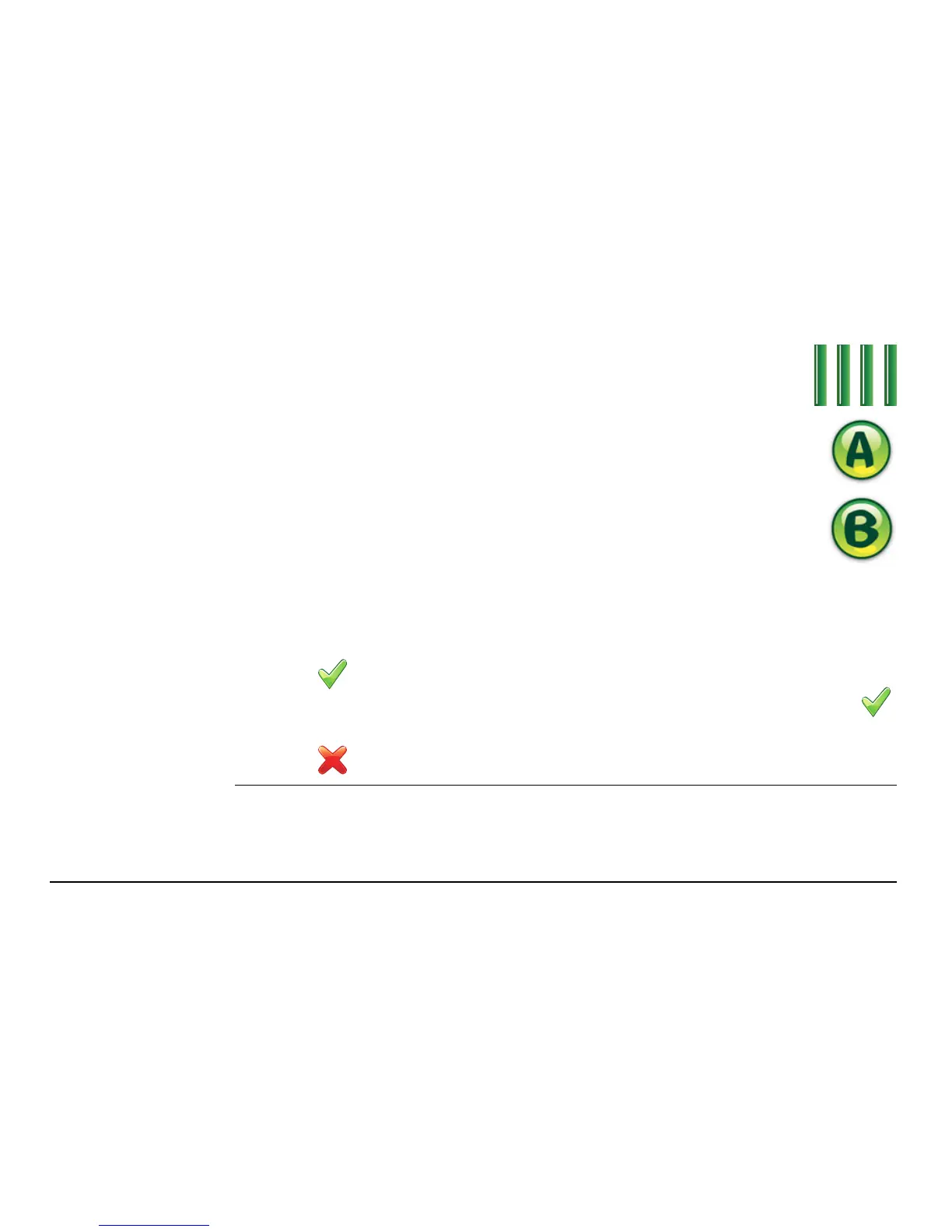
2. On the flyout menu, tap the AB parallel guidance button.
3. Position your vehicle in the field at the point where you want to
start (waypoint A), and tap the A point button.
4. Drive to your desired endpoint in the field (waypoint B), then tap
the B point button.
The minimum distance between waypoints A and B is
30 metres (100 feet). The greater the distance between the
waypoints, the better the accuracy of the working line. Where
possible, set the waypoints at either end of the field.
 Loading...