88
Leica mojo3D, Setting Guidance Types
Exporting Google
Earth and Shapefile
data for a selected
wayline, step-by-
step
To export Google Earth and Shapefile data for a selected wayline, carry out the
following steps:
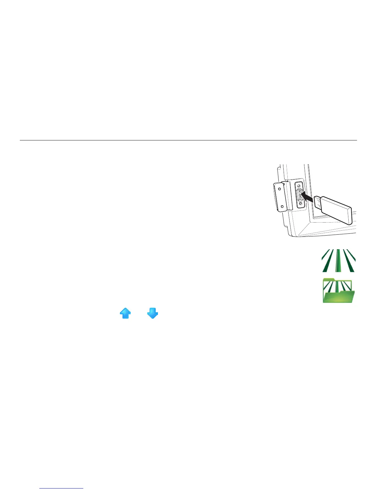
1. The USB interface is on the lower left front of the
mojo3D display. Lift the rubber cover and insert a
compatible USB Flash Drive into the USB slot.
2. On the main navigation screen, tap the guidance button.
3. On the flyout menu, tap the wayline management button.
The Guidance Management screen appears.
4. Tap and to scroll though the list of waylines. To select the
wayline to export, tap the wayline’s name.
 Loading...