Line Scan
RD1500 Operation Manual 48 © Radiodetection 2016
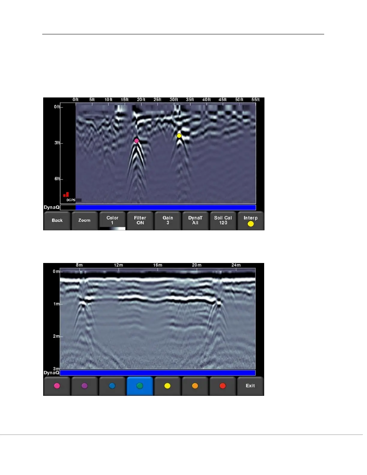
To remove an Interp, ensure the same color is currently active, then simply touch the Interp to
make it disappear.
These field interpretations remain with the data and can be used to check if a feature is linear in
Map View or in Google Earth
TM
(requires the use of the more accurate external GPS).
Figure 8-14: Touching the screen to add Interps
Figure 8-15: Available colors for Interps