K
kaylastoneSep 13, 2025
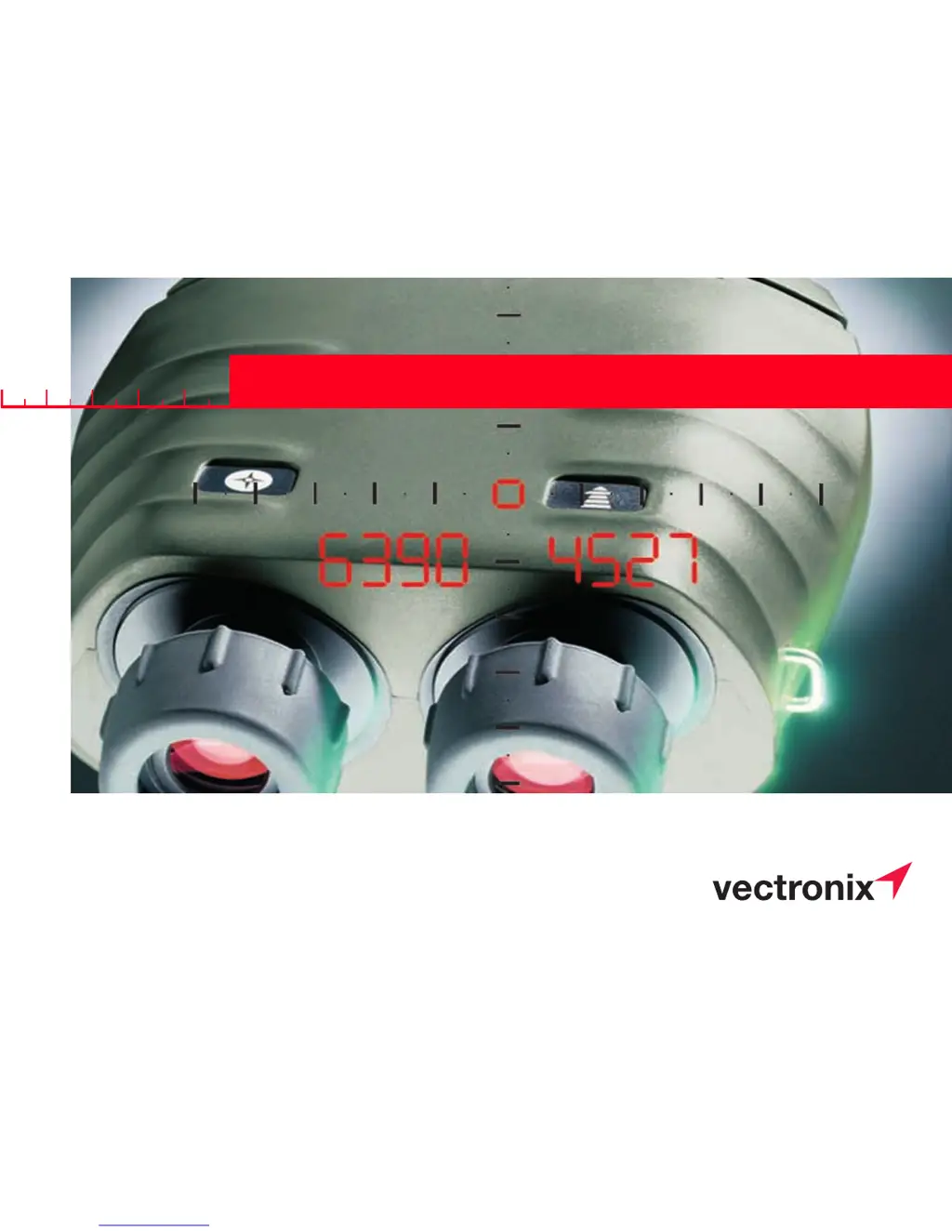
Why is measurement data not being received at PLGR from my Vectronix Binoculars?
- BBrittany TorresSep 13, 2025
If measurement data is not being received at the PLGR from your Vectronix Binoculars, it could be due to the interface cable not being properly connected, combined measurement not being used, or 'PC Con' being selected. Adjust the cable connection. Press the range and azimuth buttons simultaneously. Change to 'PLGr Con'.