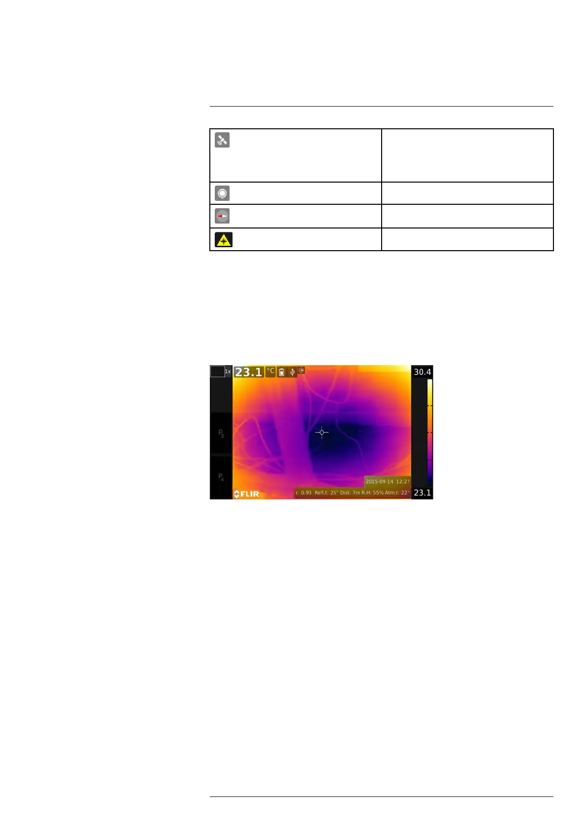
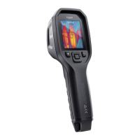
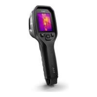
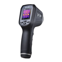
EasyManuals Logo

FLIR T1020 User Manual

FLIR T1020
260 pages
To Next Page IconTo Next Page
To Previous Page IconTo Previous Page
Page #40 background imageLoading...
Page #40 background image
Screen elements
11
The GPS indicator.
Gray icon: GPS is enabled, but there is no sat-
ellite contact.
White icon: GPS is enabled, with satellite
contact.
External infrared window compensation is
enabled.
Compass indicator (part of the image overlay
information).
The laser pointer is turned on.
11.4 Image overlay information
The image information consists of items such as date, emissivity, and atmospheric tem-
perature. All image information is saved in the image file and can be viewed in the image
archive. You can also choose to display selected items as image overlay information. All
image overlay information displayed on the live image will also be displayed on saved im-
ages. For more information, see sections 25.1.5 Device settings, page 81 and 15.8 Hid-
ing all overlay, page 54.
#T559954; r. AP/42311/42335; en-US
26

Table of Contents

Other manuals for FLIR T1020

Questions and Answers:

Question and Answer IconNeed help?

Do you have a question about the FLIR T1020 and is the answer not in the manual?

FLIR T1020 Specifications

General IconGeneral
Resolution1024 × 768 pixels
Detector TypeUncooled microbolometer
Digital Camera5 MP
Laser PointerYes
Wi-FiYes
Image Frequency30 Hz
Detector Pitch17 µm
Digital Zoom1-8x continuous
Video RecordingYes
Storage MediaSD card
Spectral Range7.5 – 14 µm
Temperature Range-40 °C to +2000 °C (-40 °F to +3632 °F)
Field of View28° x 21°
Display4.3 in LCD touchscreen, 800 × 480 pixels
FocusMotorized and manual
Image ModesThermal, visual, MSX
Operating Temperature-15 °C to +50 °C
Storage Temperature-40 °C to +70 °C (-40 °F to +158 °F)
ConnectivityUSB 2.0, HDMI
Image StorageJPEG
Image FormatsJPEG
Thermal Sensitivity<20 mK at 30°C

Related product manuals