GPSMAP 4000 Series Owner’s Manual 53
uSInG Xm
USinG Xm
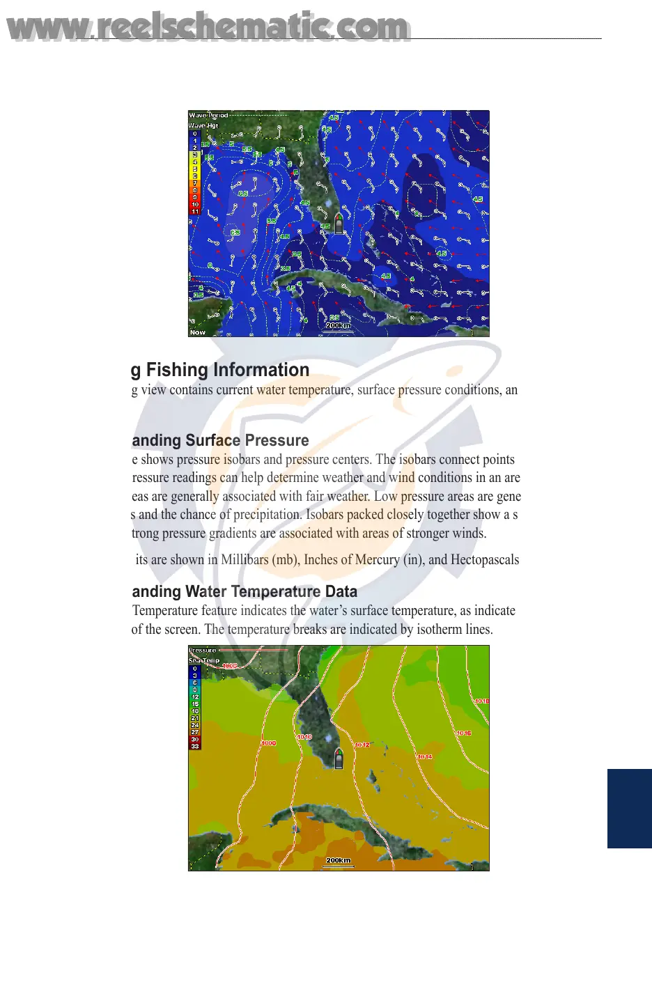
Understanding Wave Direction
The Wave Direction feature shows the direction in which a wave is moving, as indicated by the
direction of the red arrow.
Viewing Fishing Information
The Fishing view contains current water temperature, surface pressure conditions, and shing
forecasts.
Understanding Surface Pressure
This feature shows pressure isobars and pressure centers. The isobars connect points of equal
pressure. Pressure readings can help determine weather and wind conditions in an area. High
pressure areas are generally associated with fair weather. Low pressure areas are generally associated
with clouds and the chance of precipitation. Isobars packed closely together show a strong pressure
gradient. Strong pressure gradients are associated with areas of stronger winds.
Pressure units are shown in Millibars (mb), Inches of Mercury (in), and Hectopascals (hPa).
Understanding Water Temperature Data
The Water Temperature feature indicates the water’s surface temperature, as indicated by the legend
on the left of the screen. The temperature breaks are indicated by isotherm lines.
www.reelschematic.com
www.reelschematic.com