AutoLoad Electronic Charts
This is only available when installed with an CNX-series
GPS navigator. This feature must be disabled when the
MX20 is connected to a GPS navigator other than an
CNX-series navigator. It allows the CNX-series
equipment to instruct the MX20 to load a selected
approach chart.
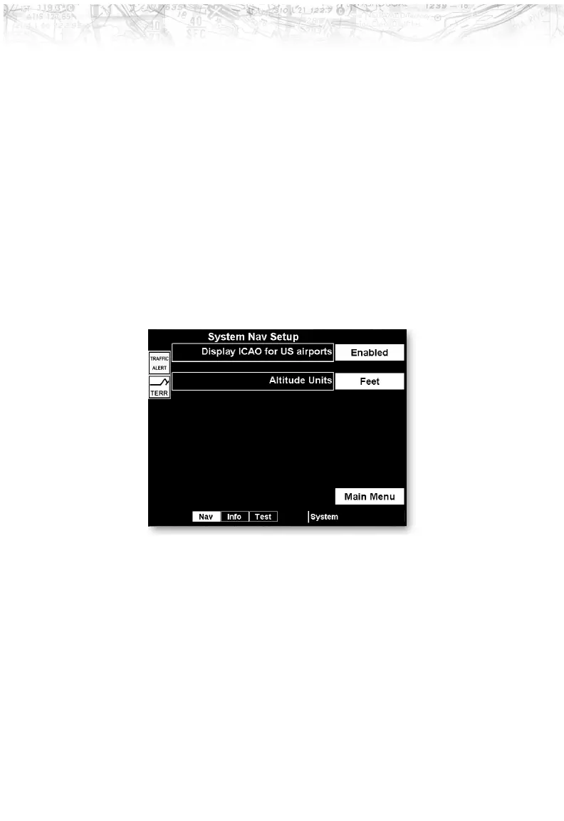
Display ICAO for US Airports
Press the Line Selection key to toggle on/off the display of
ICAOs for US airports. When enabled, the leading “K”
character for United States airports is displayed according
to the ICAO format. When disabled, the leading “K” is
not displayed.
Altitude Units
Press the Line Selection key to set the display of altitude
in either feet or meters.
108
Detailed Operation