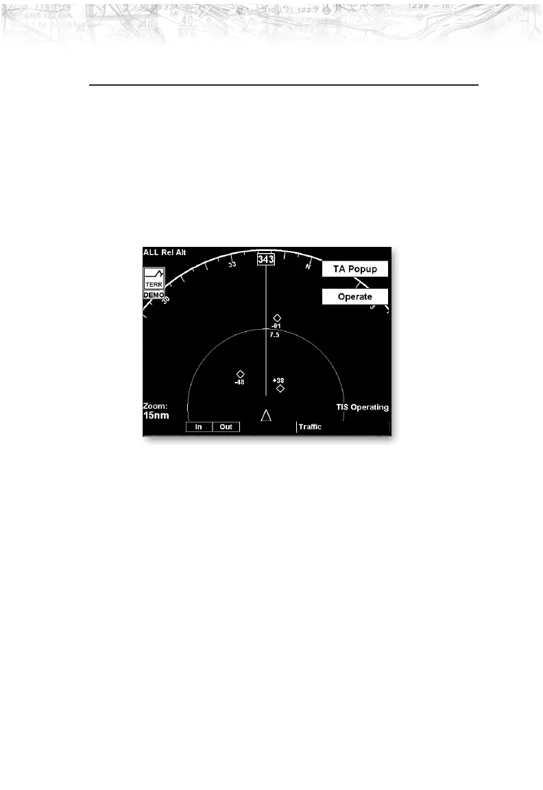
TIS-A Traffic (TRAF) Function
The MX20 I/O supports the Traffic Information Services
– Addressed (TIS-A) function when interfaced to a third
party TIS-A sensor. The traffic function, when interfaced
to the Garmin GTX-330 is capable of displaying traffic
targets supplied by that sensor. Standard TCAS-type
symbology is used and several menu options are available
for adjusting traffic presentation and sensor operation.
Review the Limitations section on page iv for the
limitations that apply to traffic data.
Important Note
TIS-A is not a collision avoidance system.
It is an aide to visual acquisition and does
not relieve the flight crew of their
responsibility to “see and avoid.” There are
no evasive aircraft maneuvers authorized,
recommended, or provided for as a result of
displayed TIS-A targets. Refer to the TIS-A
Sensor documentation for additional
information.
59
Detailed Operation