UAT Flight Information Service (FIS)
Function
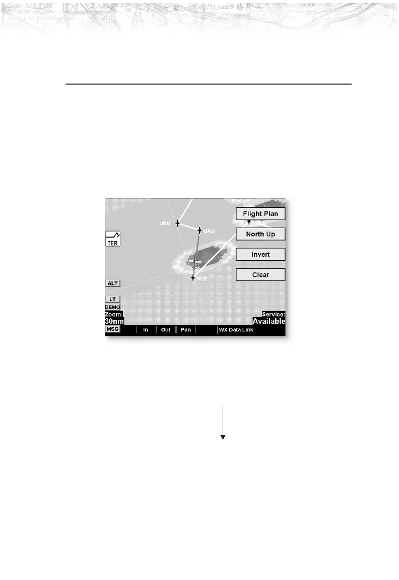
The FIS Function is capable of displaying graphical
weather information on UAT equipped installations.
Graphical data is overlaid on the map indicating the
rainfall detected by ground based radar for a specific area.
The colors indicating increasing levels of rainfall
progresses from light green for light rainfall to magenta
for heavy rainfall. Review the Limitations section on page
iv for the limitations that apply to the FIS data.
Rainfall data is color coded as follows:
Brown/Blue Zero rainfall (transparent color)
Light Green Light rainfall
Dark Green
Yellow
Amber
Red
Magenta Heavy rainfall
Cyan No rainfall data available
A cyan checkerboard pattern indicates that no data is
available for area, and rainfall in that area is unknown.
69
Detailed Operation