45
TO SHOW ISOBATH
To show isobath
Select [6.READOUT SETTING] [1.MAP
READOUT][3.DEPTH LINE] on the menu.
Select and set each item [either DEPTH LINE 13]
[DISPLAY RANGE] from [3.DEPTH LINE].
Isobath may be not indicated depending on kind
of map card or area.
[Isobath]
Isobath is line same deep bottoms are connected.
You can show or erase the isobath and select the color of isobath on the menu. (page 54)
[Condition of showing isobath]
Isobath are shown when number of range displayed now (scale on the lower left of
screen) is less (enlarged) than depth which is set on [5.DISPLAY RANGE] within [3.
DEPTH LINE].
1
2
Please refer to [HOW TO OPERATE MENU] ( page12 ) for operation of menu.
TO INDICATE PLACE NAMEOTHER NAMEFISH
SHOALLIGHT HOUSE AND ETC.
To indicate place name, other name, fish shoal, light house and etc.
Select [6.READOUT SETTING] [1.MAP
READOUT][4. POINT NAME] on the menu.
SET each item of [4.POINT NAME].
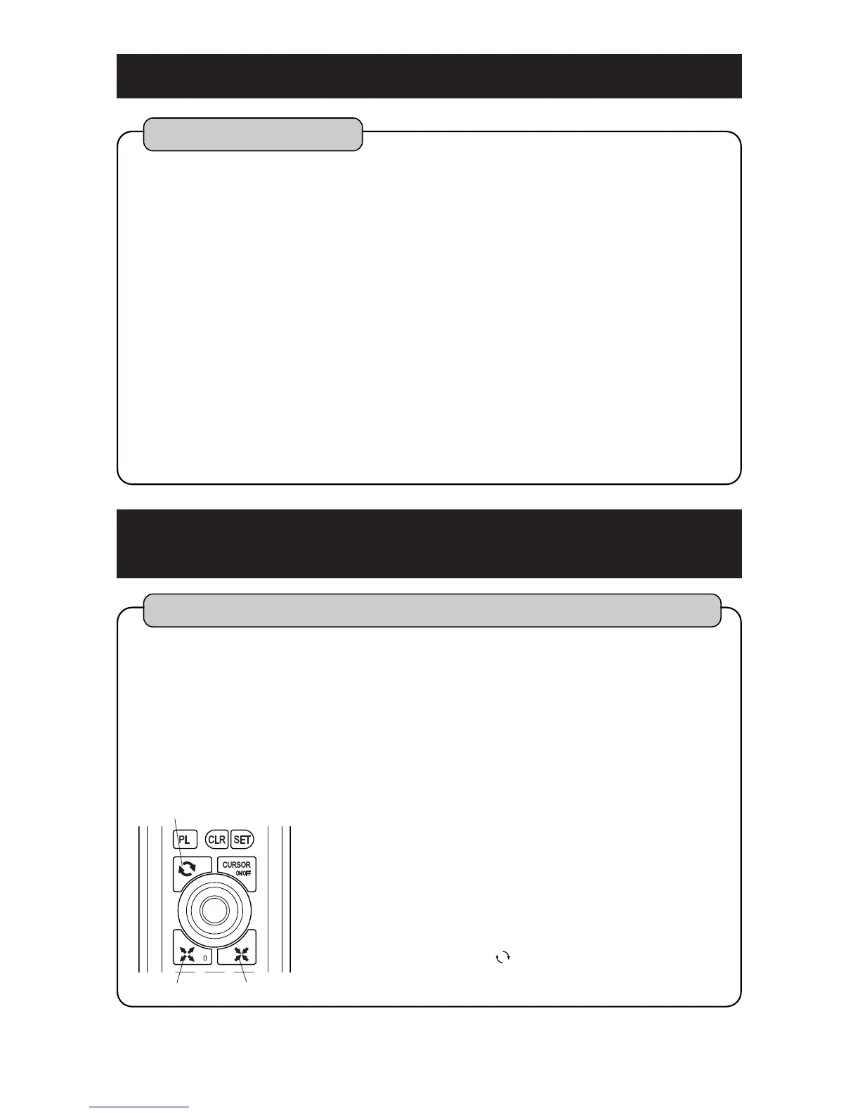
After you finish menu, adjust range with [EXP] key,
[RED] key or [ ] key and then indicate place
name, other name, fish shoal, lighthouse and etc.
QUICK RANGE key
RED keyEXP key
[Display condition: Place name and other name]
Place name or other name is indicated when map range is enlarged more than 50NM.
However, some place name or other name is not indicated depending on range.
[Display condition: Fish shoal, lighthouse and etc.]
Fish shoal, lighthouse and etc. are shown when number of range displayed now (scale
on the lower left of screen) is less (enlarged) than depth which is set on [2.
LIGHTHOUSE/BUOY] [3. FISH HAVEN] within [4. POINT NAME].(page 54)
1
2
3


 To Next Page