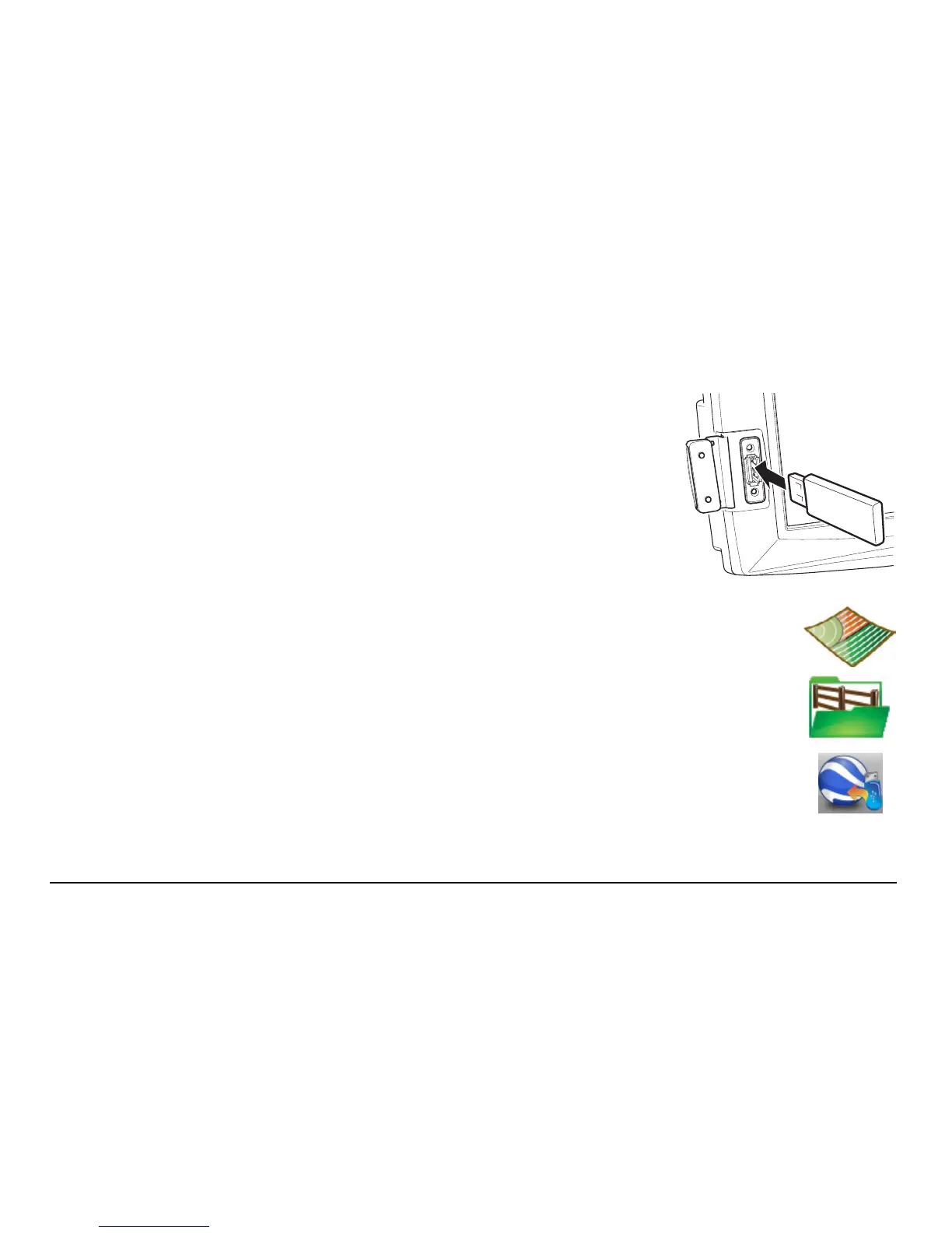
Leica mojo3D, Field Boundary 173
To import field boundary data from Google Earth or Shapefile files, carry out the
following steps:
1. The USB interface is on the lower left front of the
mojo3D display. Lift the rubber cover and insert a
compatible USB Flash Drive into the USB slot.
2. On the main navigation screen, tap the treatment button.
3. On the flyout menu, tap the boundary management button.
The Boundary management screen displays.
4. Tap the import from USB button.
(Note that the arrow goes from the USB memory key to the Google
Earth icon - not the other way round.)
 Loading...