G-858BP Backpack Mag Operators Manual
Example 2
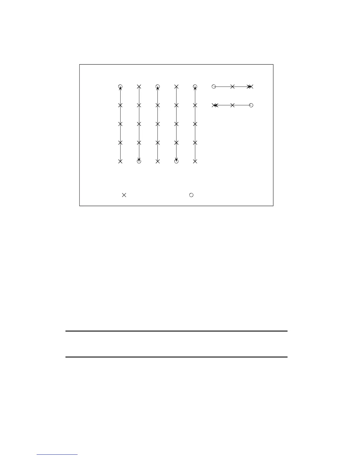
You may also wish to take lines in perpendicular directions. Consider the survey shown below.
Line Key Press
Mark Key Press
0
20
40
60
80
0
10
20
30 40
50
60
70
X Coordinate
Y Coordinate
For the first part of the survey, define the grid as follows:
Lower left corner X= 0.0, Y = 0.0
Upper right corner: X = 40, Y = 80.0
Survey along Y axis
Line spacing 10.0
Mark Spacing 20.0
When you have finished that, ESC back to the Mapped Survey Main Menu, and select DEFINE
MAP. Then enter the following values
Lower left corner X= 50.0, Y = 80.0
Upper right corner: X = 70, Y = 0.0
Survey along X axis
Line spacing 20.0
Mark Spacing 10.0
Then take the next two lines of data. When you download the data, you will be able to locate the
points correctly.
Note: MagMap2000 will not be able to edit a survey such as this. You will
need to locate the data using the NOEDIT option in MagMap2000. See
Chapter 4 for details.
65
 Loading...