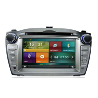
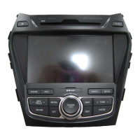
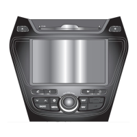
PART 3 NAVIGATION SYSTEM
PART 3
NAVIGATION SYSTEM
Limitations of the navigation
system
3-2
GPS signal reception state
3-2
Vehicle position display
3-3
Route guidance
3-4
Route Re-calculation
3-4
Starting navigation system
3-5
Map Functions
3-5
Current position map screen
(without route)
3-5
Switching map mode
(North up/Heading up)
3-6
Viewing GPS signal state
3-7
Changing the map scale
3-8
Displaying / Hiding POI icons
on the map
3-9
Displaying / Hiding Q.POI icons
3-9
Displaying /Hiding icons other than
Q.POI icons
3-9
Making a call to POI
3-10
Scrolling map
3-11
Setting a Destination
3-12
Destination menu screen and functions
3-12
Searching a Destination
3-13
Searching an Address
3-13
Searching a Previous Destination
3-17
Searching an Intersection
3-17
Searching a POI
3-20
Searching from Address book
3-24
Searching for Emergency facilities
3-25
Searching your Home
3-25
Searching favorite places
3-26
Searching from MAP
3-26
Searching POI by local POI list
3-26
Operating after searching a
destination
3-27
Changing destination position
3-27
Setting as Destination/waypoint
3-27
Adding to address book
3-27
Operating after setting
a destination
3-28
Starting Route Guidance
3-28
Route guidance screen
3-28
Selecting other route
3-29
Route guidance
3-30
Route menu screen and functions
3-30
Finishing route guidance
(Delete Destination)
3-30
Route overview(View Entire Route)
3-31
Changing Route option
3-32
Editing waypoints
3-32
Adding waypoints
3-32
Deleting waypoints
3-34
Re-ordering waypoints
3-34
Setting detour distance
3-35
Setting avoid streets on route
3-35

 Loading...


