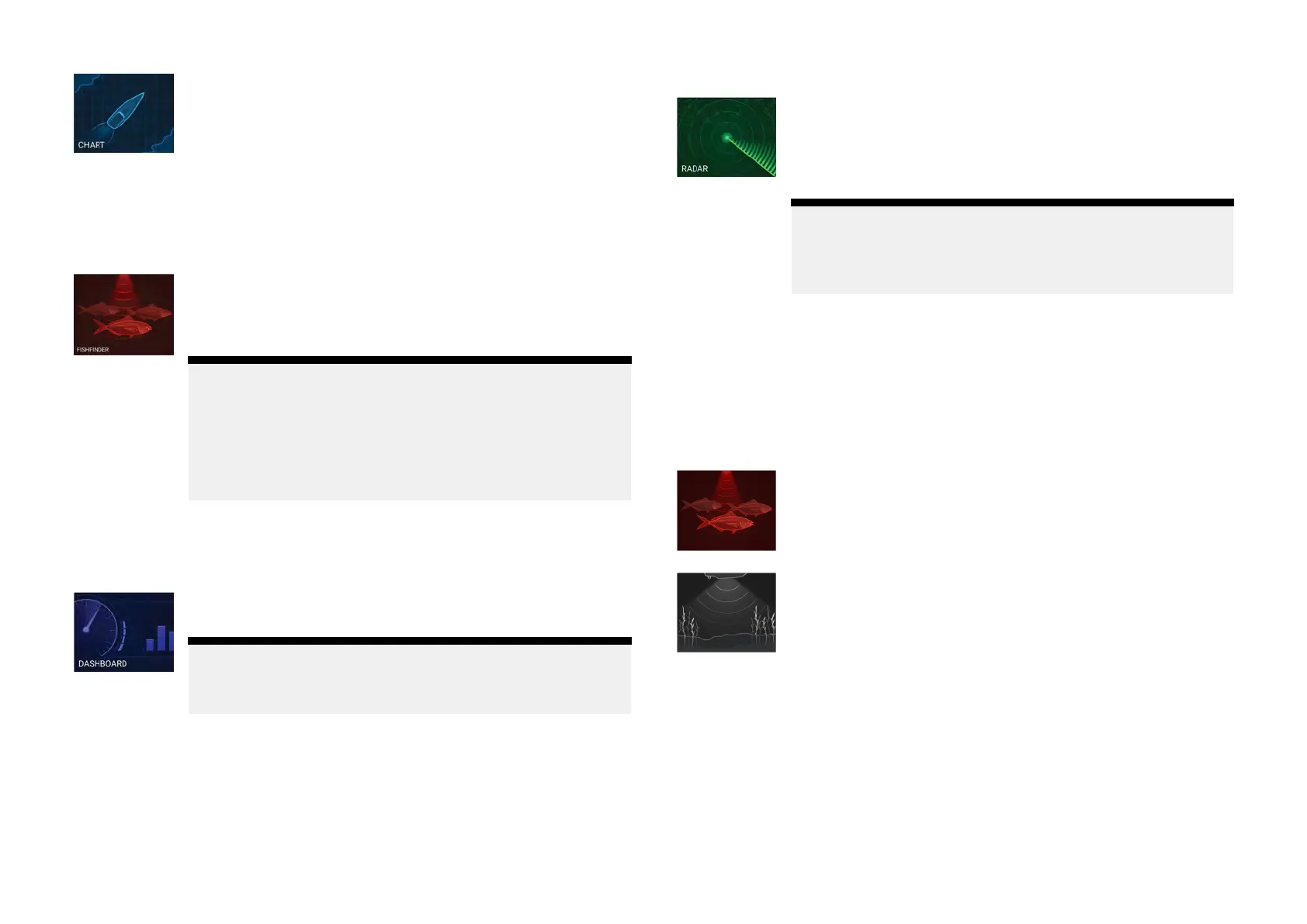
[Chart]—TheChartappdisplayselectroniccartographic
informationfromyourChartcardsandwhenusedin
conjunctionwithaGNSS(GPS)receiver
,plotsyourvessel’s
position.TheChartappcanbeusedto:markspecific
locationsusingWaypoints;buildandnavigateRoutes;or,
keeparecordofwhereyouhavebeenbyrecordinga
Track.
FordetailedinformationabouttheChartappreferto:
p.65—Chartapp
[Fishfinder]—TheFishfinderappusesaconnected
transducertohelpyoufindfishbycreatinganunderwater
viewofbottomstructureandtargetsinthewatercolumn
thatiscoveredbyyourtransducer
.
Note:
•ThechannelsavailableintheFishfinderappare
determinedbythedisplayvariantandconnected
transducer
.
•Theiconusedonthehomescreenwillreflectthe
fishfinderchannelinuse.
FordetailedinformationabouttheFishfinderappreferto:
p.92—Fishfinderapp
[Dashboard]—TheDashboardappprovidesdatareadings
fromconnectedsensorsandequipment.
Note:
TheDashboardappisonlyavailableinsplitscreenapp
pages.
FordetailedinformationabouttheDashboardapprefer
to:p.110—Dashboardapp
[R
adar]—TheRadarappisasituationalawarenessaidthat
displaysagraphicalrepresentationofyoursurroundingsin
relationtoyourvesselusingtheecho/targetreturnsfroma
connectedQuantumradarscanner.TheRadarappallows
youtotracktargetsandmeasuredistancesandbearings
Note:
TheRadarappisincludedinhomescreenapppageicons
whenthe[Radarinstalled]optionisenabledintheinitial
startupwizard,otherwiseandmustbeaddedmanually.
FordetailedinformationabouttheRadarappreferto:
p.118—Radarapp
Fishfinderapppages
Theiconsusedtorepresentfishfinderapppagesonthehomescreenchange
toreflectthefishfinderchannelthathasbeenselectedforthatinstanceof
thefishfinderapp.
Sonar
Theconicalbeamfishfinderchannelisrepresentedusing
thesonarappicon.
Theconicalbeamfishfinderchannelprovidesatraditional
scrolling2Dviewofthewaterbeneathyourvessel.
DownVision™
TheDownVision™fishfinderchannelisrepresentedusing
theDownVision™appicon.
TheDownVision™fishfinderchannelprovidesaphotolike
scrolling2Dviewofthewaterbeneathandtothesidesof
yourvessel.
Homescreen
41