IFD500 Series Pilot Guide
Map Subsystem 4-21
NOTE
Datalink Data Intended to Aid Decision Making
Weather Datalink information is meant to aid pilot
planning and near-term decisions focused on avoiding
areas of inclement weather that are beyond visual range
or where poor visibility precludes visual acquisition of
inclement weather. The system is not designed for use
for weather penetration and storm cell circumvention.
The system lacks sufficient resolution and updating
necessary for tactical maneuvering.
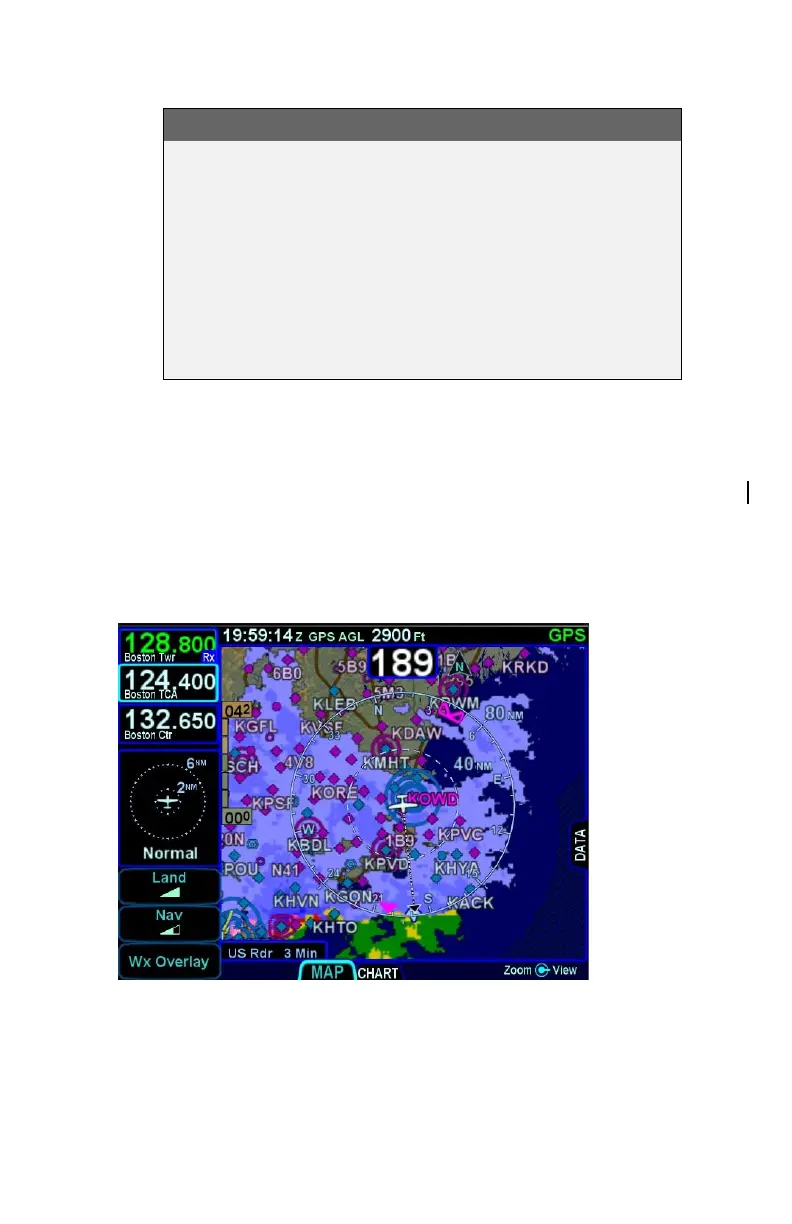
DATALINK RADAR
The Datalink radar is a composite image depicting precipitation as
seen by multiple ground weather radar sites. The image is color-
coded to FAA definitions to show intensity levels and precipitation
types and is overlaid on top of any other map features, including
terrain alerting.
Datalink Precipitation Example