AIR_Manual_506a_ENG_rev_1.pdf Page 36/96
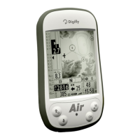
INTEGRATED GPS RECEIVER WITH 99 CHANNELS
Digifly AIR features an extremely sensitive, and state-of-the-art, integrated GPS receiver with 99 channels.
The GPS status icon has different meanings:
o Fixed GPS icon = GPS FIX valid (GPS position available)
o Blinking GPS icon = insufficient signal (GPS position NOT yet AVAILABLE)
GPS SIGNAL QUALITY (HDOP)
The HDOP value represents the weakening of the GPS signal; lower values mean good precision.
EARTH MODEL USED FOR DISTANCE CALCULATION
The parameter
(Distance Calculation Model), allows you to choose the earth
reference model used for distance calculation. When set to FAI, it will use the FAI Sphere model and, when set
to WGS, it will use the WGS84 model (default).
TOLERANCE USED FOR DISTANCE CALCULATION
The parameter
(Distance Calculation Tolerance), allows you to select the tolerance
range used in distance calculation. It is a percentage, ranging from 0.0 to 0.5% (default 0.0%).
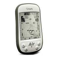
LATITUDE & LONGITUDE COORDINATES
The latitude and longitude coordinates are always displayed on the
upper part of the INFO GPS page and are referred to the WGS84 map
datum.
LATITUDE & LONGITUDE COORDINATES OPTIONS
Four different coordinate formats are available:
= degrees, minutes & seconds (dd° mm’ ss.s) (default)
= degrees & minutes (dd° mm.mmm’)
Universal Transverse Mercator (utm x, y, zone)
decimal degrees (dd.ddddd)
To change the coordinate format DMM, DMS, UTM or DDD, use the
ADVANCED SETUP \ n. 23 CORD
parameter
The latitude and longitude coordinates are referred to the WGS84 map
datum.
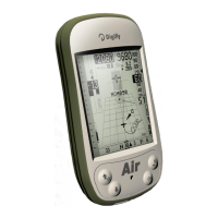
The GPS altitude (“ALT GPS”) is the height above the sea level accordingly to the GPS satellite system.
The GPS ground speed is the glider’s speed related to the ground (“Gs”). This value is always displayed -
analogically and digitally- on instruments that do not have the Integrated Airspeed Sensor (Pitot Tube).