70
1. Make sure that the active network has WIFI
selected (not DRONE).
2. Make sure that proper procedure was followed
in the OFFLINE MAPS screen:
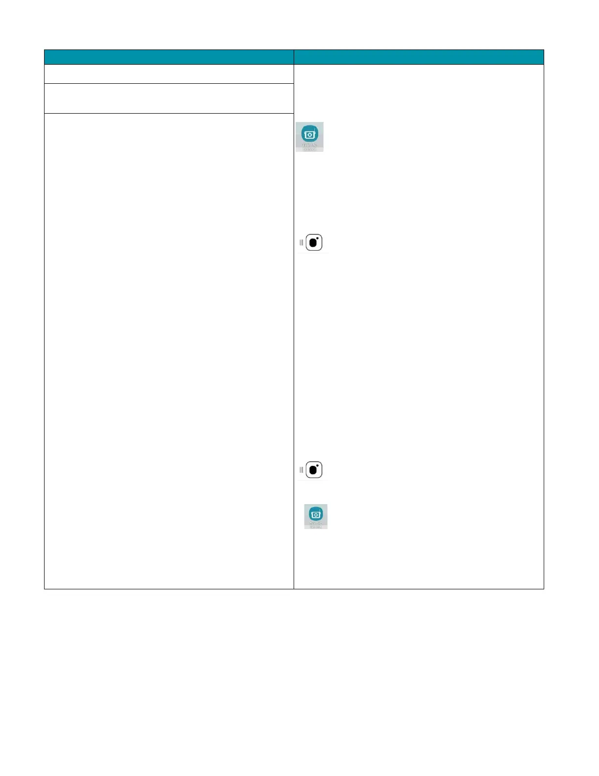
Touch the TEAL TAC SETTINGS icon.
Change the Active network from DRONE to WIFI.
Login into the WIFI system with the appropriate
login credentials.
Slide
the SETTINGS screen all the way to the
right to open/enlarge the QGC app.
Touch
the MENU icon in the top left of the
screen.
Select
SETTINGS at the bottom left of the
screen.
Select OFFLINE MAPS.
Select ADD NEW SET.
Set and zoom to the area that you would like to
save.
• Create a name for map set in the ADD
NEW SET field.
• Set the map type.
• Check the FETCH ELEVATION DATA box
to include elevation data with the tile
set.
• Select DOWNLOAD when finished.
Touch the MENU icon in the t
screen.
Select the FLY button.
Touch the TEAL TAC SETTINGS icon.
Change
the Active network to DRONE from
WIFI.
Once the TAC acquires the GPS signal, the map
screen will automatically load that tile set.
Maps are not saved/imported on the TAC.