Appendix 4: GPS Basics
-47-
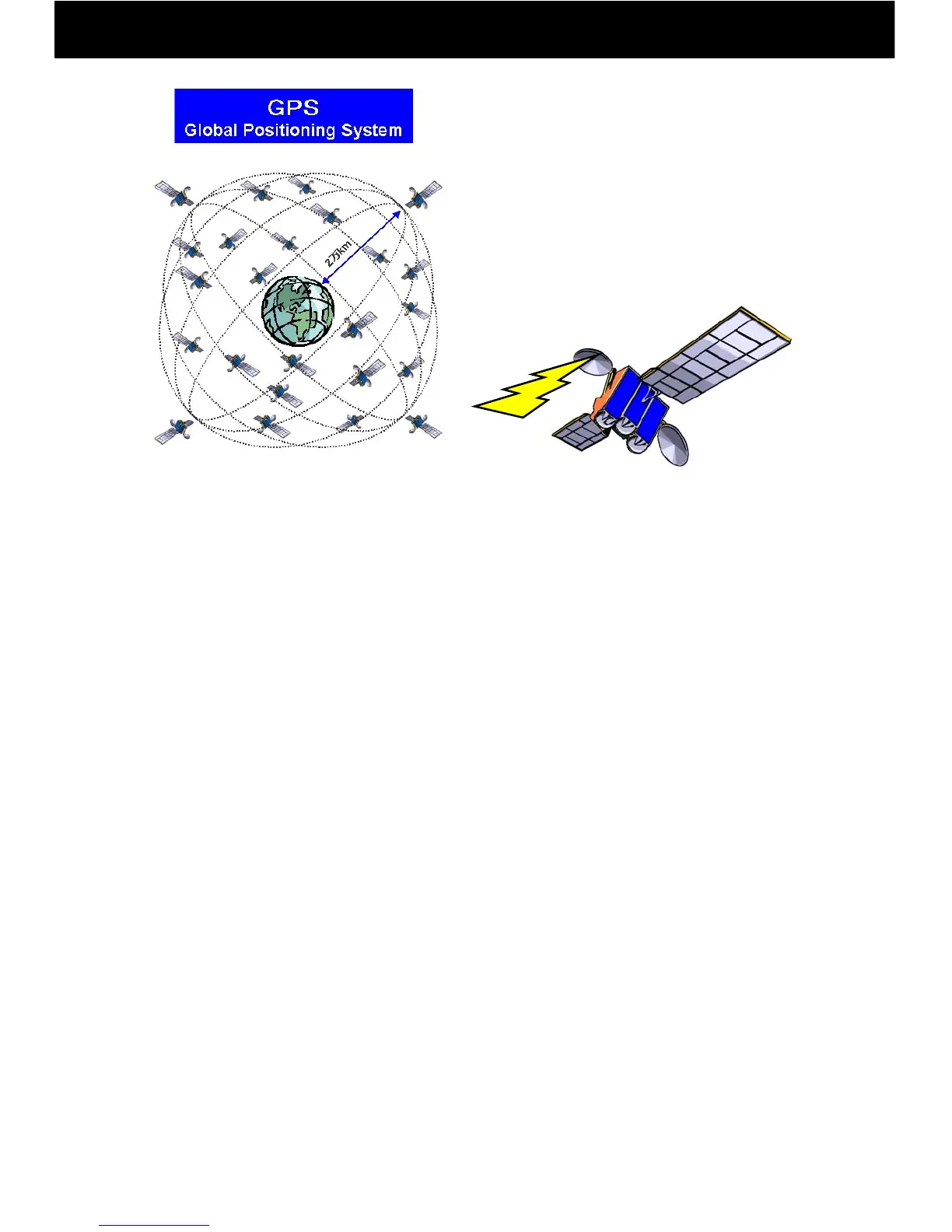
NAVSTAR: NAVigation Satellite Timing And Ranging
The name given to GPS satellites. NAVSTAR satellites orbit at an altitude of
approximately 20,000 km, and have an orbital period of 0.5 sidereal days (about 11 h
58 min). The entire system is composed of six orbital planes with four satellites each,
for a total of 24 satellites, which compose the entire system, and multiple cesium and
rubidium atomic clocks are onboard.
Almanac Data
An overview of orbital data for all satellites, which is available for use. Once acquired,
the almanac can be used for about one week.
Ephemeris (Orbital) Data
Detailed orbital data from an observation satellite that is responsible for current
location. Once acquired, ephemeris data may be used for about one hour. Using
ephemeris data is used to determine the location of satellites and compute current
location.
Hot Start
Positioning is started with ephemeris data, almanac data, time data, and previous
positioning data effective.
Warm Start
Without detailed orbital data, data from the satellite capture at the previous
positioning time is used to start satellite capture, reducing satellite capture time.
Cold Start
When GPS is carried out after more than a month has passed since the last
positioning or more than 500 kilometers away from the previous positioning location,
satellite orbital data is newly obtained, and positioning is started from the initial
settings.
GPS: Global Positioning System
A global positioning system that uses
satellites. It is composed of a space
segment (24 NAVSTAR satellites in six
different orbits), control segment (five
monitoring stations, a master control
station, and three upload stations) and
user segment (GPS receiver).