3D charts
The 3D option provides a three dimensional graphical view of land
and sea contours.
Ú
Note: All chart types work in 3D mode, but without 3D
cartography for the appropriate area the chart appears flat.
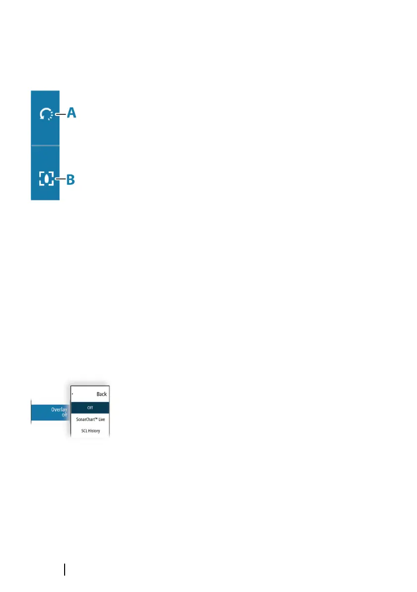
When the 3D chart option is selected, the rotate (A) and the pan (B)
icons appear on the chart panel.
Panning the 3D chart
You can move the chart in any direction by selecting the Pan icon
and then panning in the desired direction.
To return the chart to vessel position use the return to vessel option.
Controlling the view angle
You can control the view angle by selecting the rotate icon, and
then panning the chart panel.
• To change the direction you are viewing, pan horizontally
• To change the tilt angle of the view, pan vertically
Ú
Note: When centered on the vessel position, only the tilt angle
can be adjusted. The view direction is controlled by the chart
orientation setting. Refer to "Chart orientation" on page 36.
Chart overlay
You can add overlays on the chart panel.
When an overlay is selected, the chart menu expands to include
basic menu options for the selected overlay.
Information about the overlay menu options are described in more
detail below or in their separate sections in this manual.
Structure overlay
Structure (StructureMap) information can be displayed as overlay on
your chart panel.
When Structure overlay is selected, the chart menu expands to
include basic menu functions for the overlay. Refer to "StructureMap"
on page 168.
40
Charts | GO XSE/XSR Operator Manual

 Loading...