3-SETUP
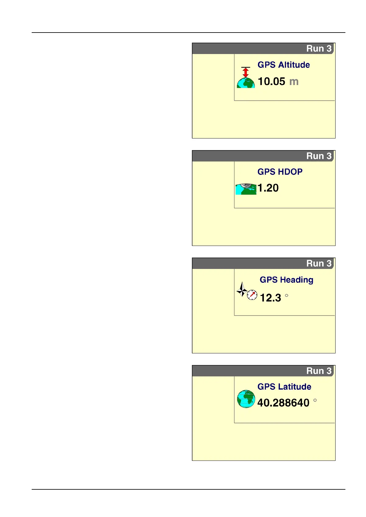
“GPSAltitude”
Placementlabel:GPSAltitude
The“GPSAltitude”windowreportsthevehicle’sreal-time
positionaselevationabovesealevel.Thevalueisre-
portedinmetersorfeet,dependingontheunitsofmea-
surementselected.
RCIL11DSP363BBG2
“GPSHDOP”
Placementlabel:GPSHDOP
The“GPSHDOP”windowreportsGPSsignalquality
atthevehiclelocation.HorizontalDilutionOfPrecision
(HDOP)indicateswhetheranobjectinthehorizontal
planebetweenthevehicleandthecorrectionmessage
source–forexample,atreegrove,ridgeline,ormountain
range–isgoingtobeaproblem.Ingeneral,anyvalue
below2offersgoodworkingresults.
RCIL11DSP364BBG3
“GPSHeading”
Placementlabel:GPSHeading
The“GPSHeading”windowreportsthevehicleheading
indegreeswithinapossible360°ofdirectionoftravel:
•
0°equalsnorth
•
90°equalseast
•
180°equalssouth
•
270°equalswest
RCIL11DSP365BBG4
“GPSLatitude”
Placementlabel:GPSLatitude
The“GPSLatitude”windowreportsthevehicle’sreal-time
positioninangulardistancenorthorsouthoftheearth’s
equatormeasuredthough90°.
RCIL11DSP366BBG5
3-83