 Loading...
Do you have a question about the Humminbird HELIX 7 G2 SERIES and is the answer not in the manual?
| Power Input | 10-20 VDC |
|---|---|
| Operating Temperature | -15°C to 55°C |
| Water Rating | IPX7 |
| GPS Chartplotting | Yes |
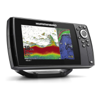
| Display Size | 7 inches |
| Resolution | 800 x 480 pixels |
| Sonar | Yes |
| Sonar Frequencies Supported | 83 kHz, 200 kHz |
| Max Depth | 1500 ft |
| Power Output | 500 W RMS |
| GPS | Internal GPS |
| Memory Card Slot | microSD |
| Connectivity | Ethernet |