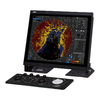
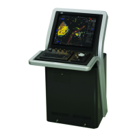
11-11 Section 11 Setting up Screen View
Setting Item Description of Setting Setting Value
Name Tags Display/hide the name object. Shown: Selected
Tides and
Display/hide the tide and current object. Shown: Selected
Place Name Display/hide the place name object. Shown: Selected
Seabed Type Display/hide the seabed symbol object. Shown: Selected
Port & Services Display/hide the port and service object. Shown: Selected
Attention Areas Display/hides the attention sea area object. Shown: Selected
Track & Routes Display/hide the track and route object. Shown: Selected
Under Water Display/hide the object such as reef. Shown: Selected
Navigation Aids &
Display/hide navigation aid and visible arc/invisible
On / Off / No Sector
Light Sectors
Level
Switch the lighthouse light range level.
Specify a degree of details of the C-MAP MAX chart
in the order of A to H. A indicates the outline and H
indicates the highest detail level.
A / B / C / D / E /
F / G / H
 Loading...