57
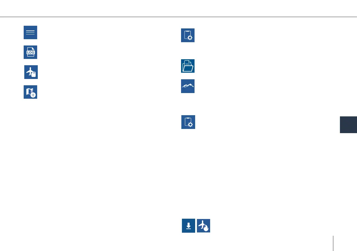
Elevation
Download elevation data for ofine use of QBase
3D. You can also import your own elevation data.
Make sure the imported le is a .tif le with WGS 84 coordi-
nates.
UAV Diagnosis
The autopilot will start an internal diagnosis of the
sensors and parameters. The diagnosis le will be
saved on the SD card as 'SYSLOG'.
ADS-B Settings
The ADS-B transponder conguration can be
changed.
Call-Sign: Individual name or number. Call-Sign should be
suitable for identication.
ICAO-Code: A unique code that is provided by the ICAO.
Only use those codes provided by the authorities. Do not use
the transponder without allocated ICAO-Code.
Squawk: Standard VFR (visual ight) Squawk in Europe is
7000. Use this as default. If in contact with Air Trafc Control
please change your squawk upon request.
Modes:
Mode A: Only Squawk is sent to the radar station
Mode C: Squawk and ightlevel are sent to the radar station
Standby: No data transmission
Create Map
Ofine maps are generated based on the informa-
tion of the online maps. During the creation pro-
cess QBase/the tablet needs to be connected to the internet.
1. Select Pan To in the left section and search for the area that
you wish to create the ofine map of or zoom to the desired
location.
2. Boundaries are marked with a green rectangle. Please add
some margin between the boundaries of the ofine map
and the desired ight area. It is possible to switch between
horizontal and vertical orientation.
3. The Max. Zoom (maximum level of detail) is displayed in the
top left corner. In order to change it please use the scroll
bar in the right panel. Recommended zoom level: 17 – 18.
4. Set a name for the ofine map.
5. Select Download in order to save the ofine map. If the
Download button is disabled either decrease the Max.
Zoom (maximum level of detail) or decrease the area of the
ofine map.
The map is saved in Documents > QBase > Maps.
FlyLog Debrief
See chapter 9.1
Updates
See chapter 11
SD Card
See chapter 9.2
Report
Send feedback, like bug reports, feature requests.
Mission Operation
Main Menu
8